Palm Island Resort. The Grenadines.
Coordinates in degrees decimal: N 12.586229, E -61.399326
Visited in February, 2013. Photographer: Nigel Thomas. Cameras: Pentax WG-II and Sea & Sea 1G with DX1G housing
Palm Island is one of the 32 smaller islands that make up St. Vincent and the Grenadines. It is located to the southern end of the chain, east of Union Island. The island lies on a west to east axis. The best snorkelling is largely restricted to the sheltered, western end of the island, as the prevailing winds are from the east and north east. Average wind speeds exceeding 10 knots occur between January and June, while during the rest of the year only gentle breezes blow, generally below 10 knots. The eastern shore, for snorkelling, is largely inaccessible, due to the strong easterly winds.
Average temperatures vary from 27C in the winter to 29C in the summer (August to September), although peak temperature may exceed 31C. Rainfall is limited to around 23cm per month between August and November, with minimums between February and March (<10cm).
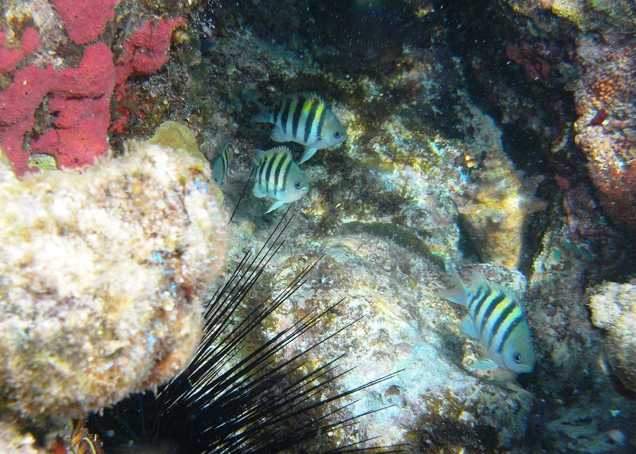
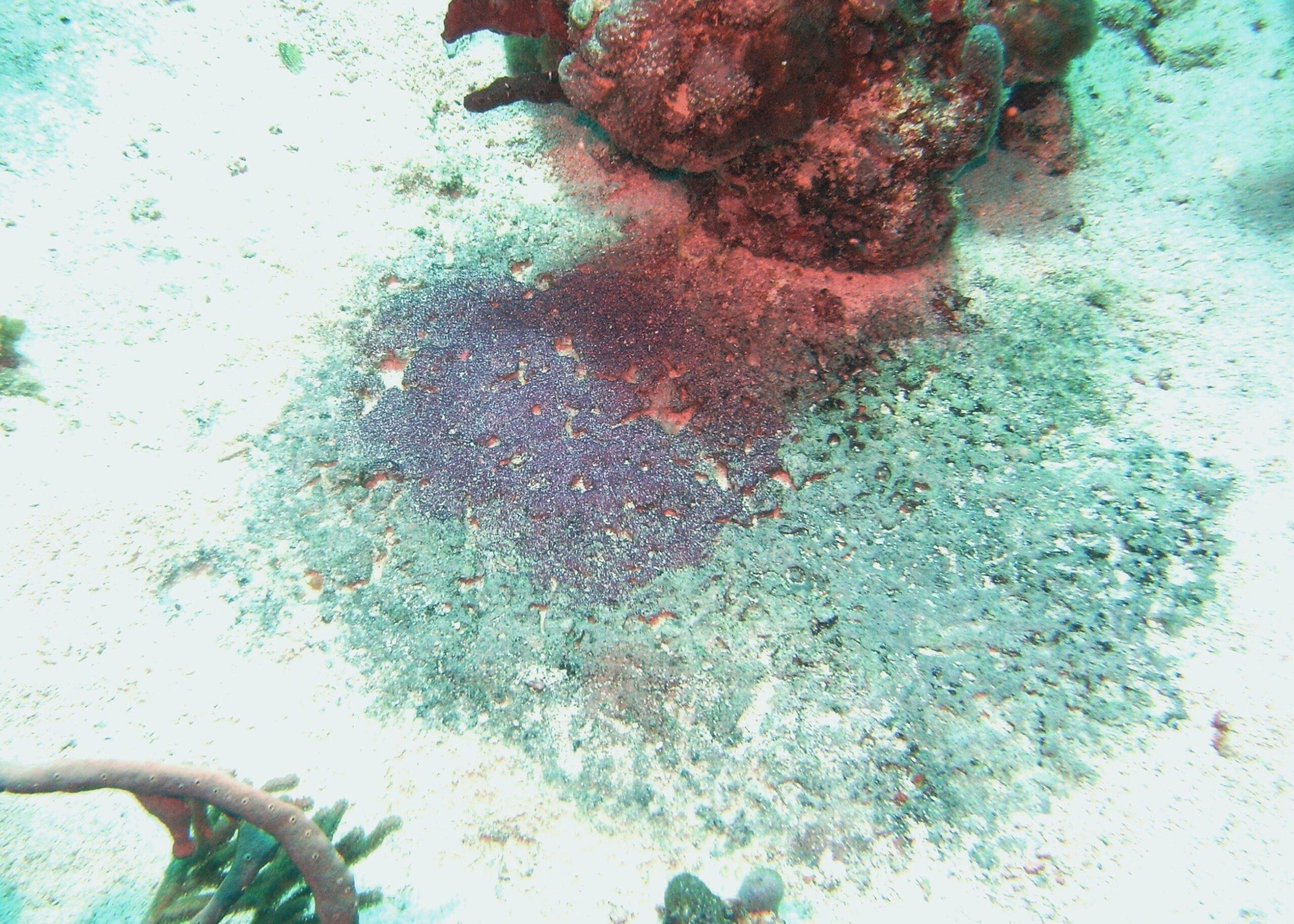
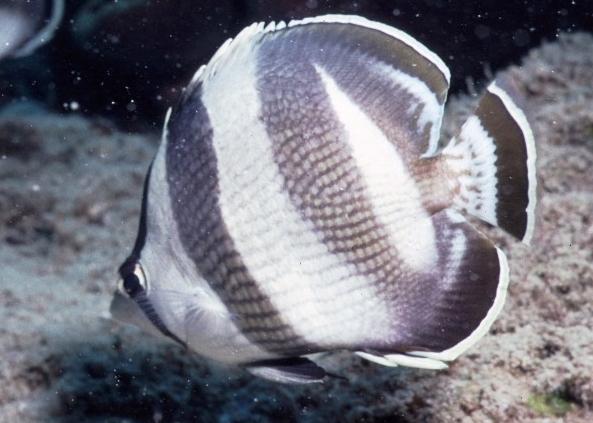
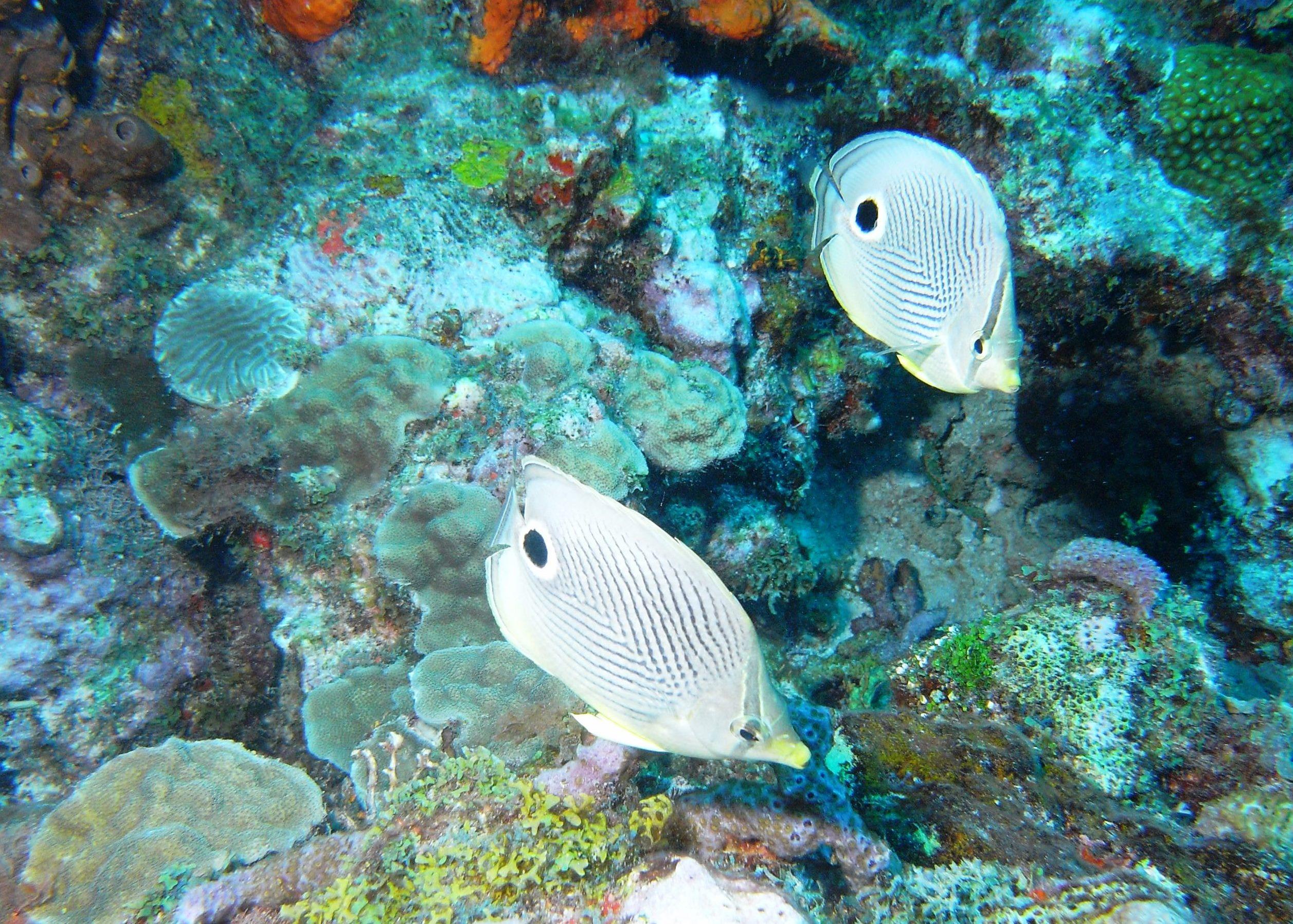
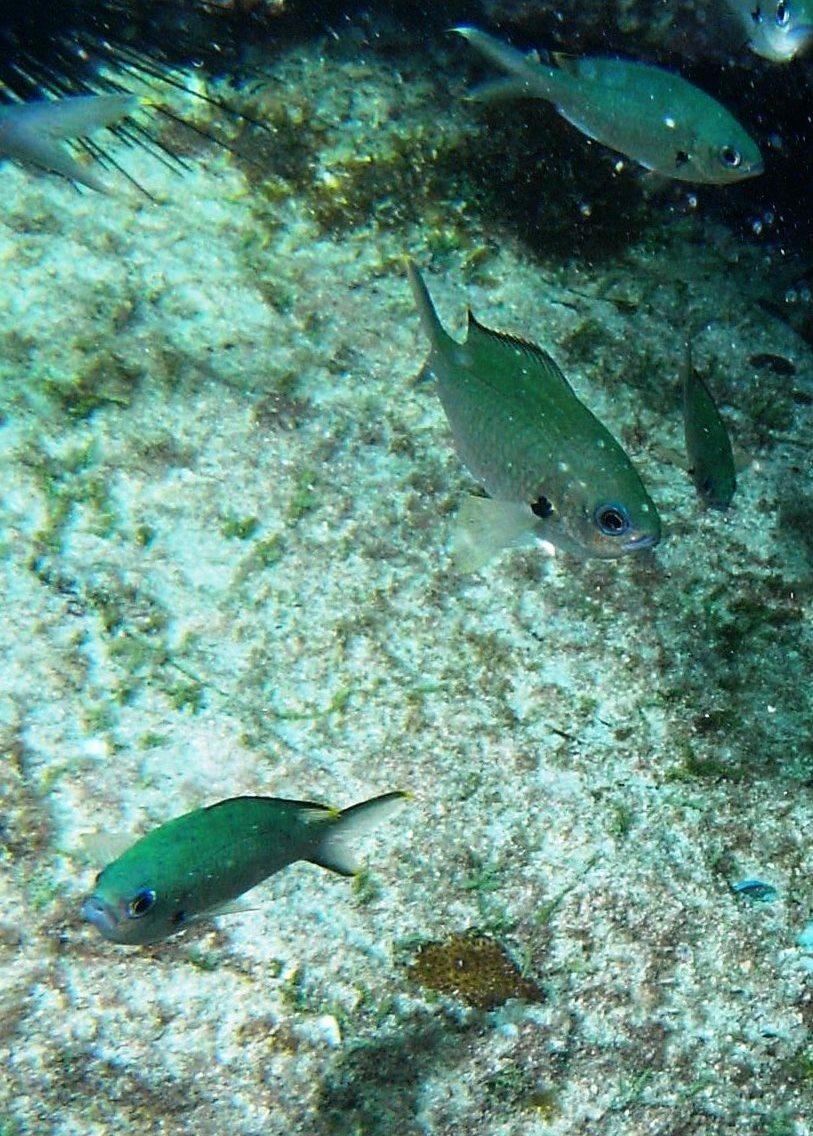
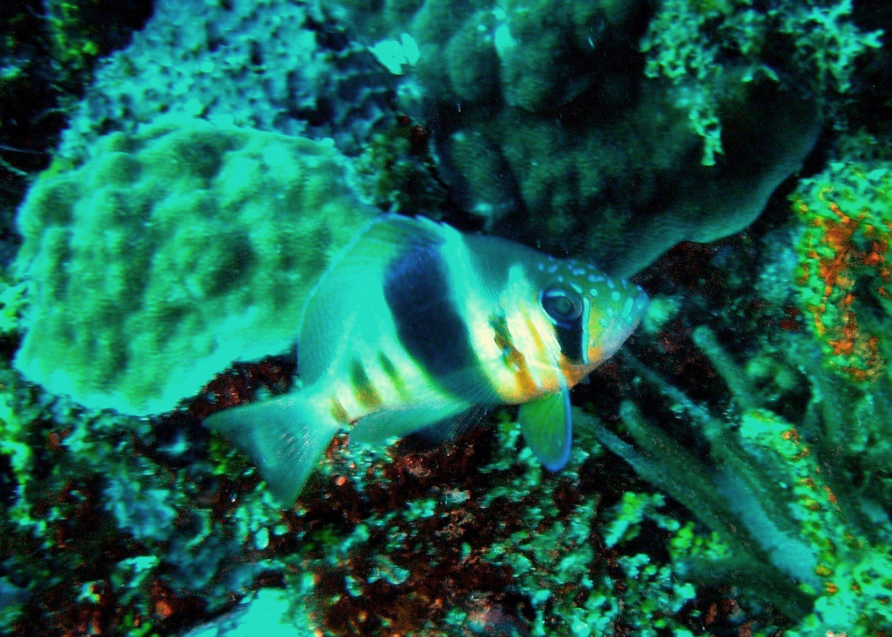
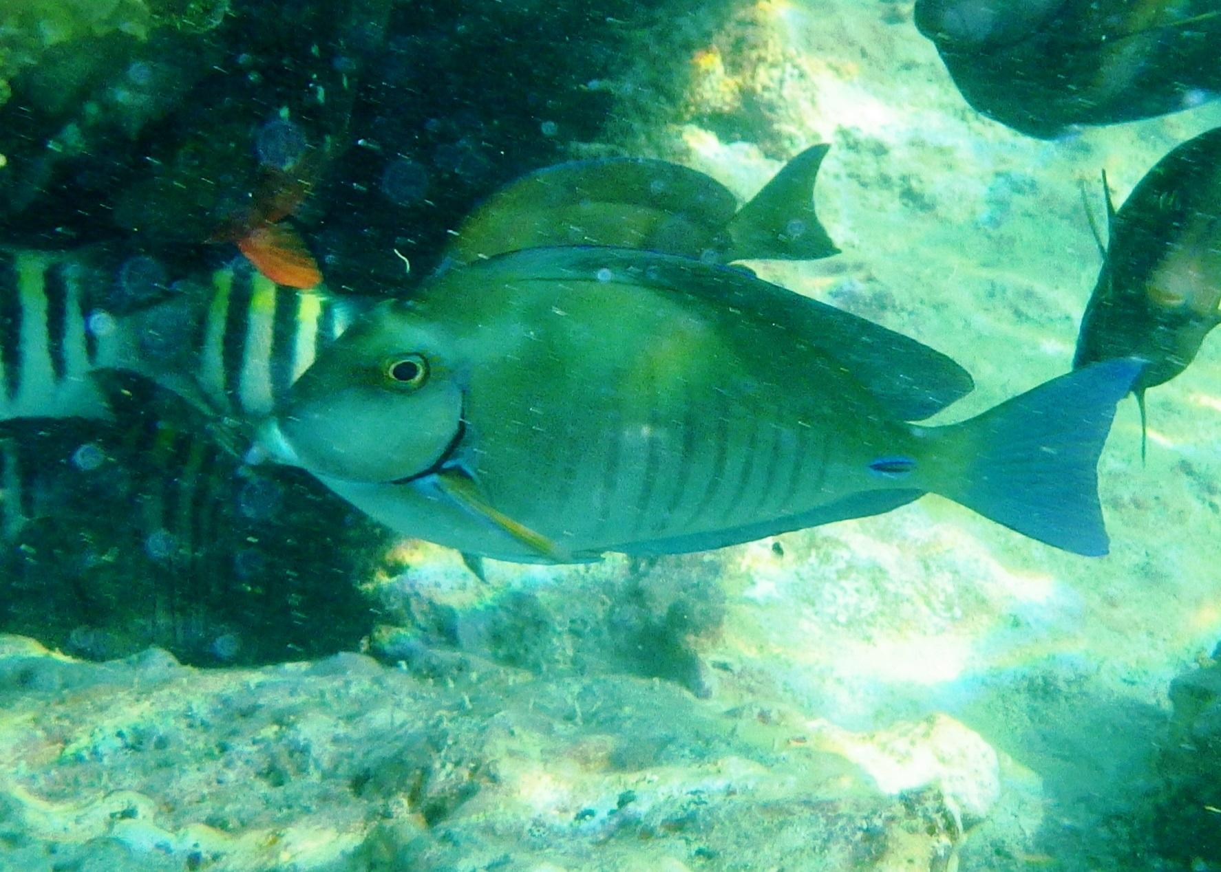
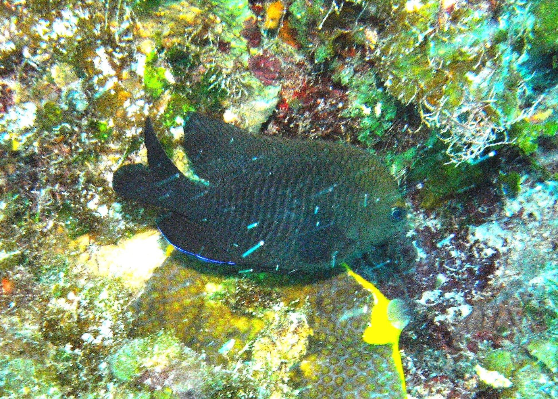
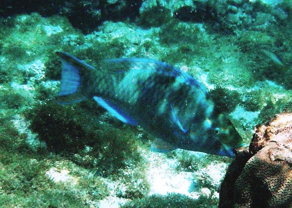
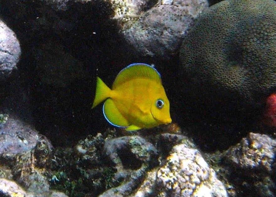
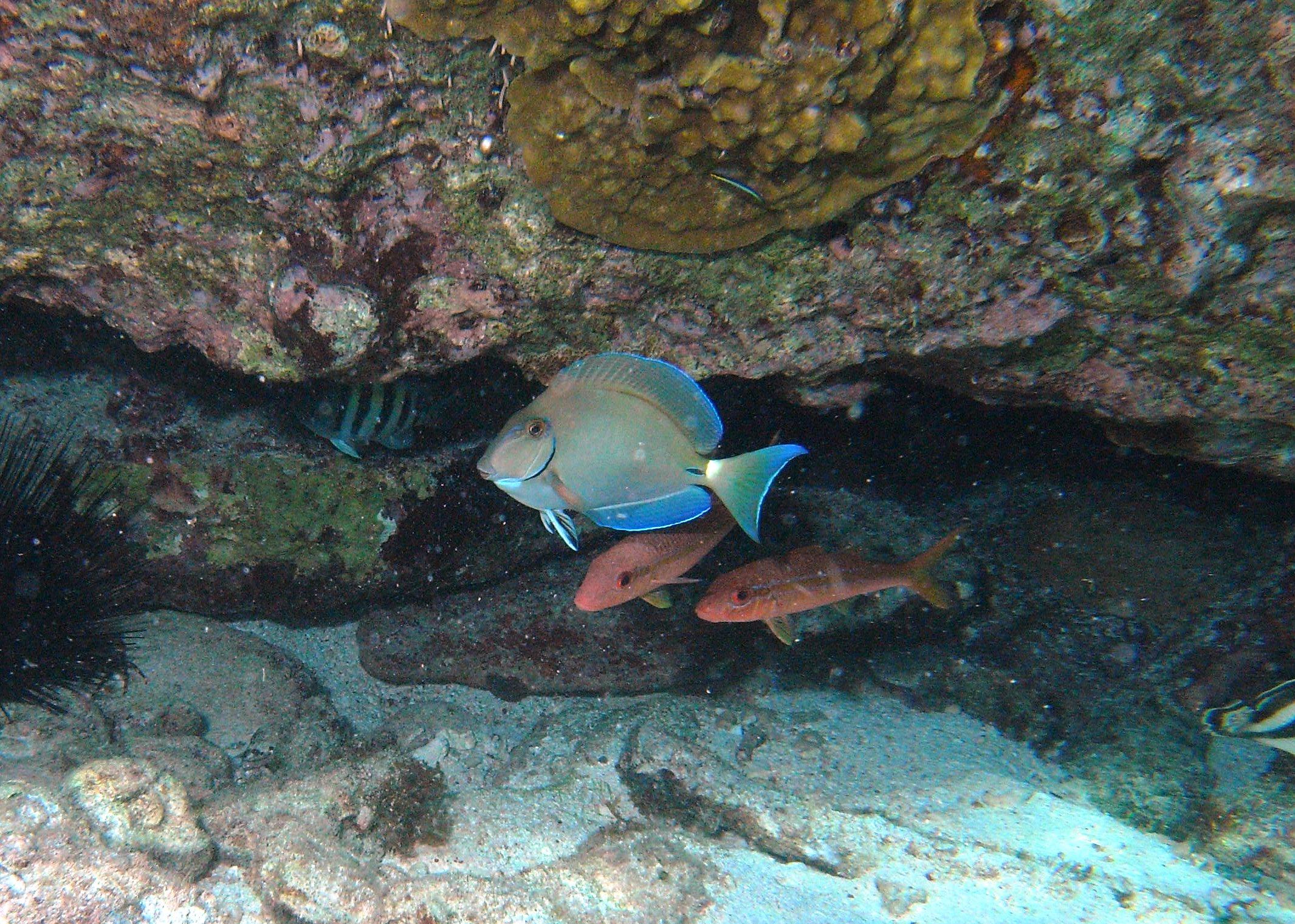
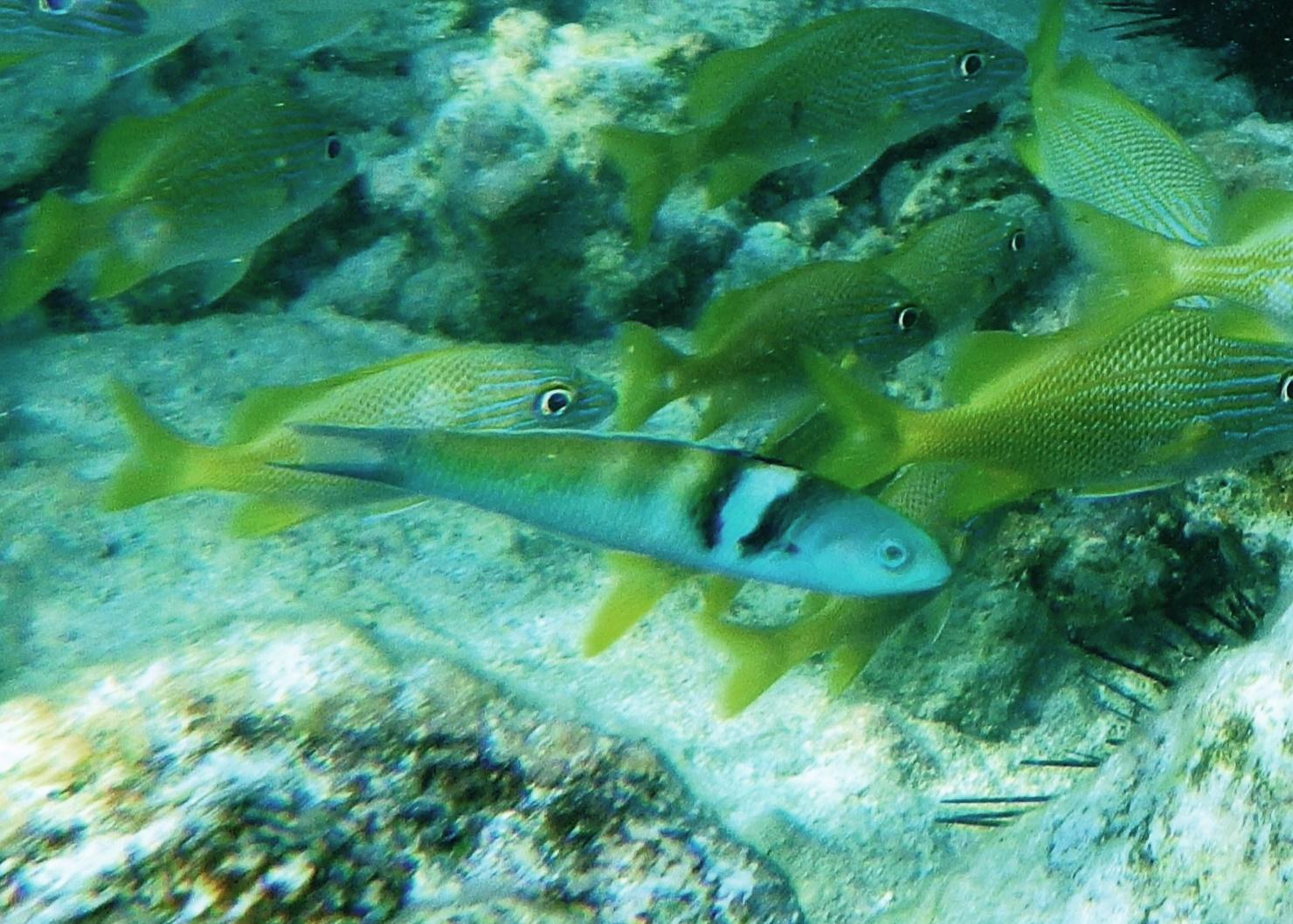
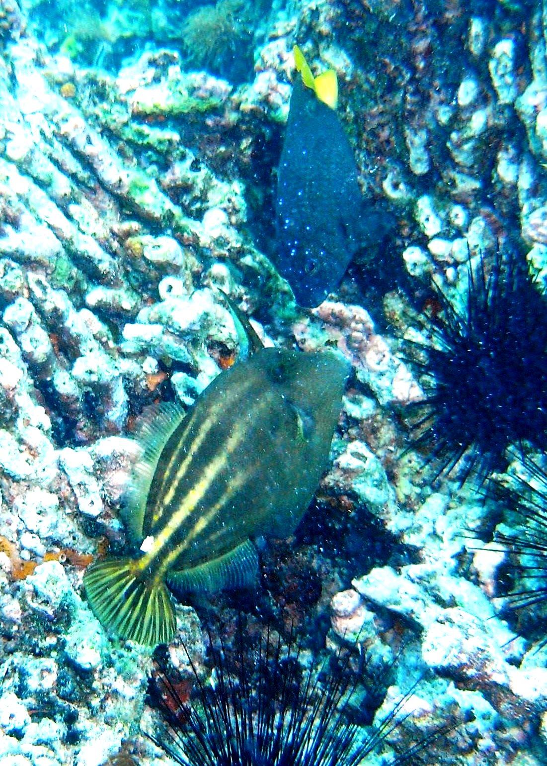
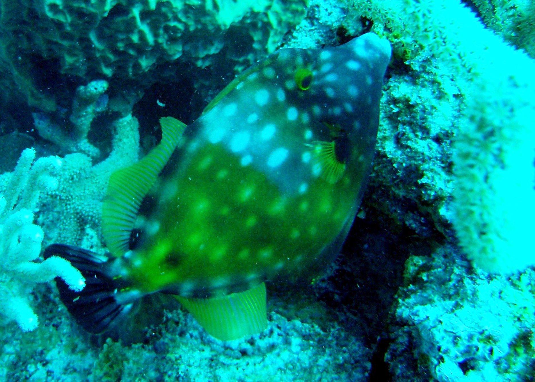
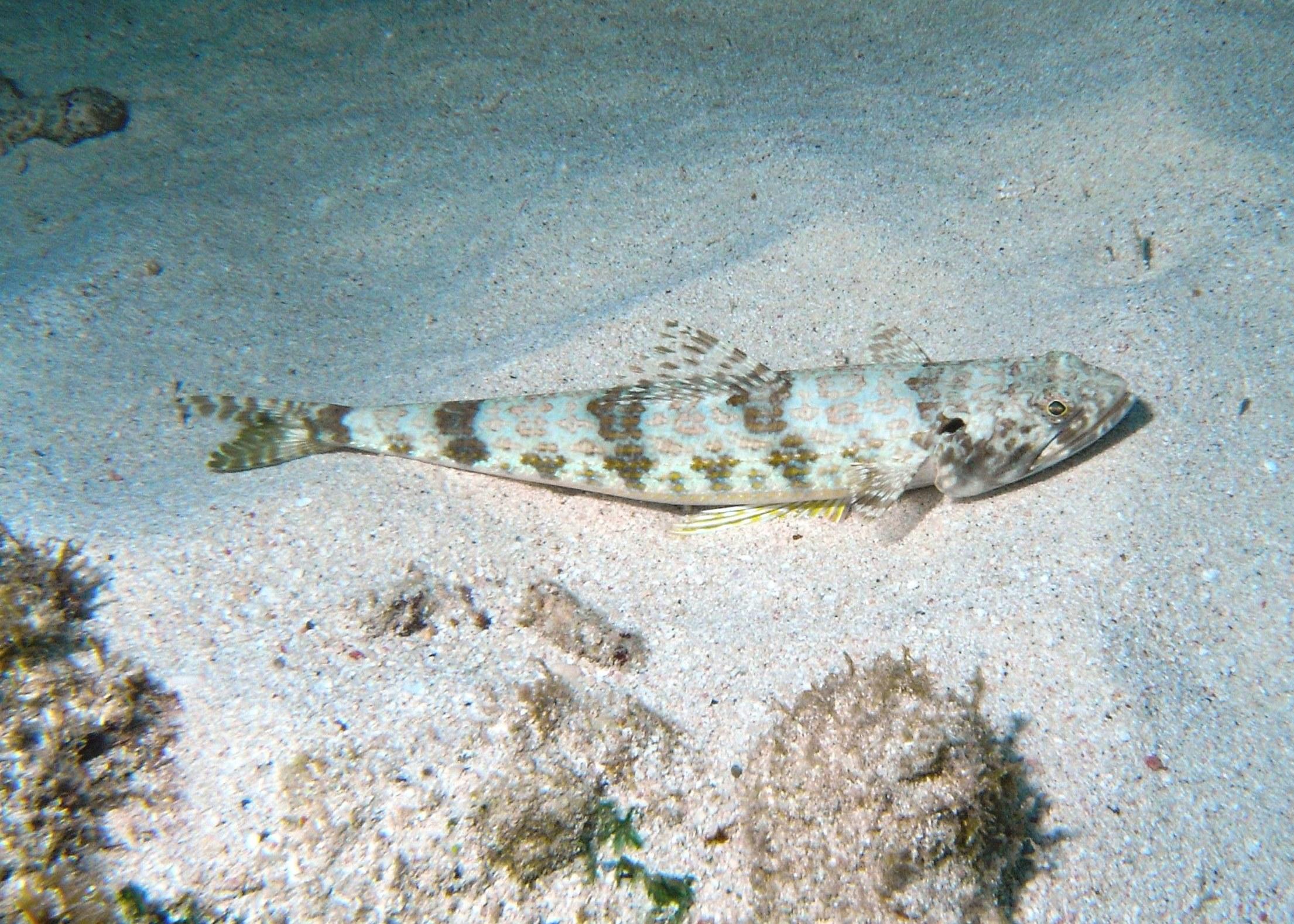
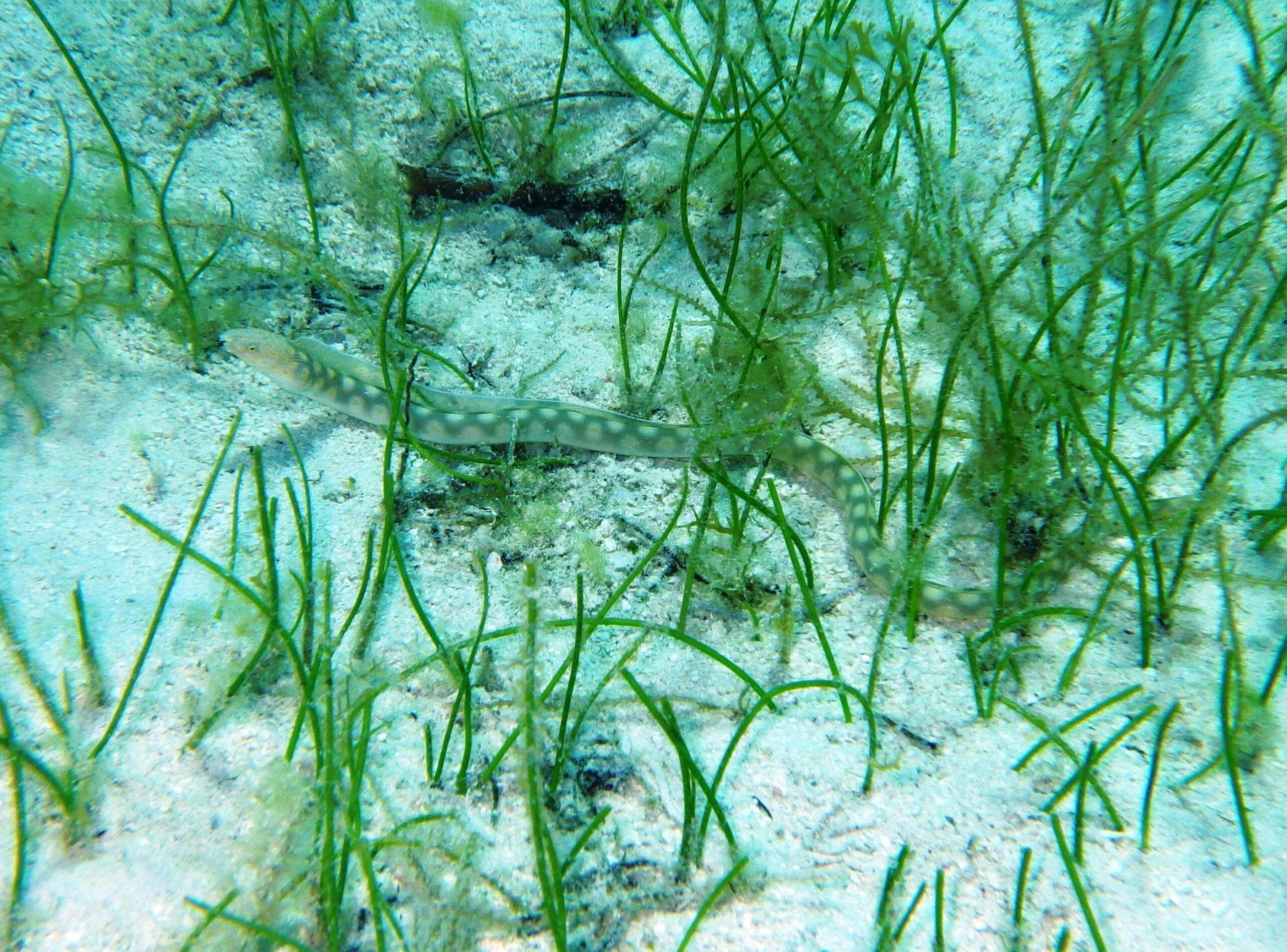
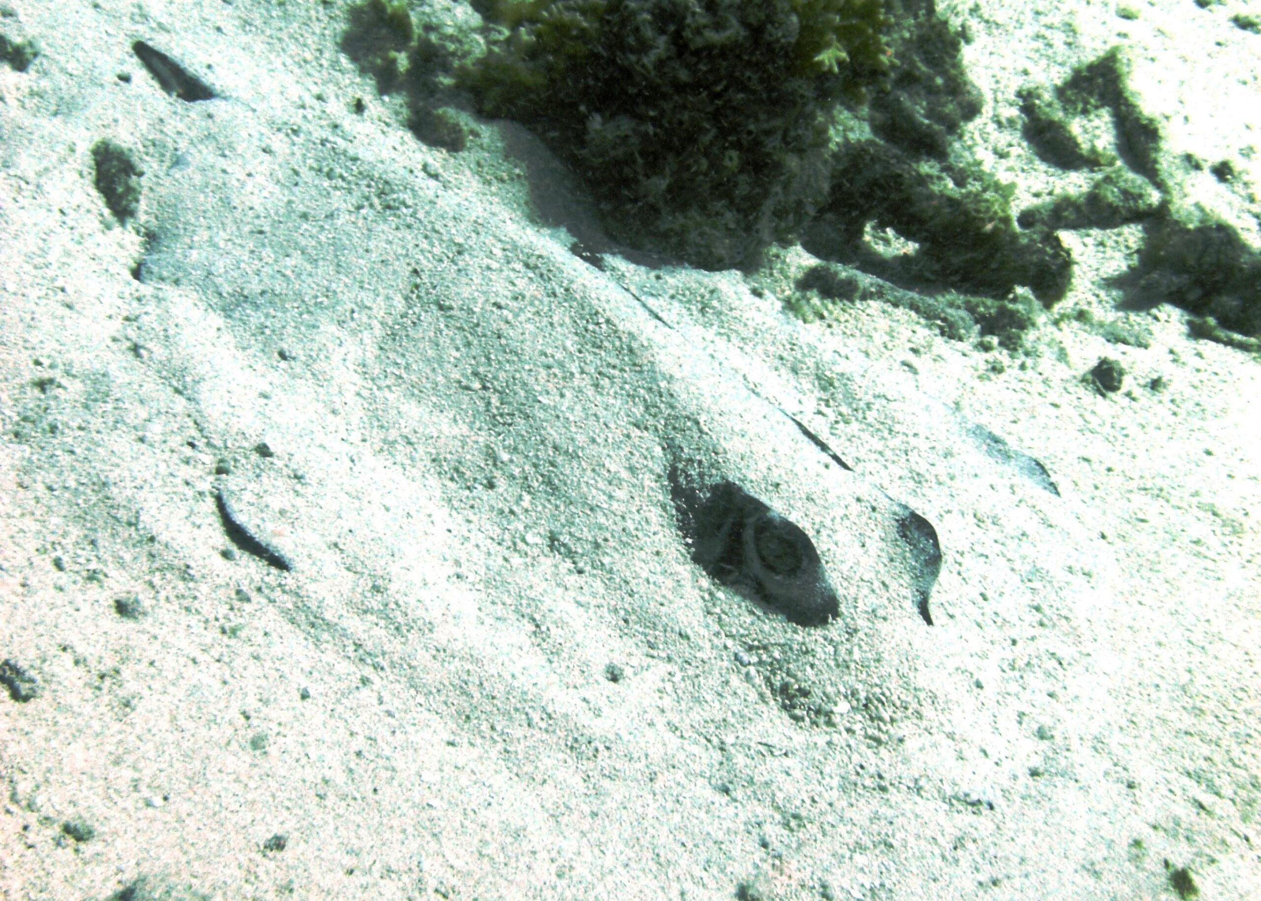
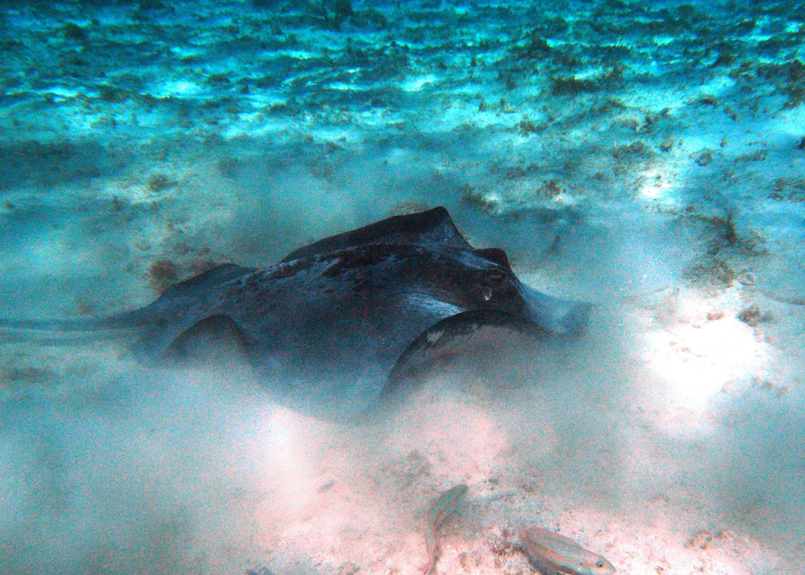
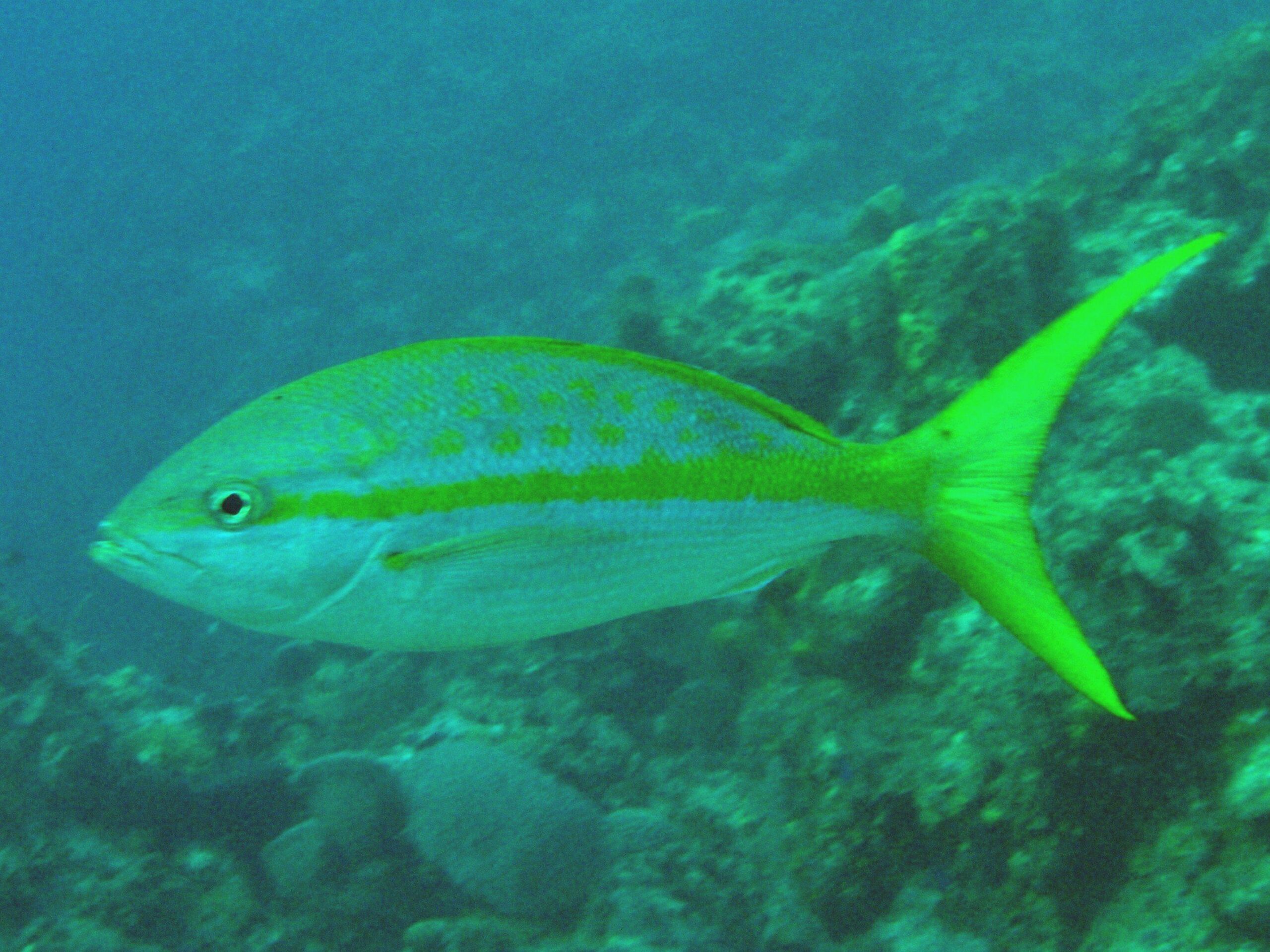
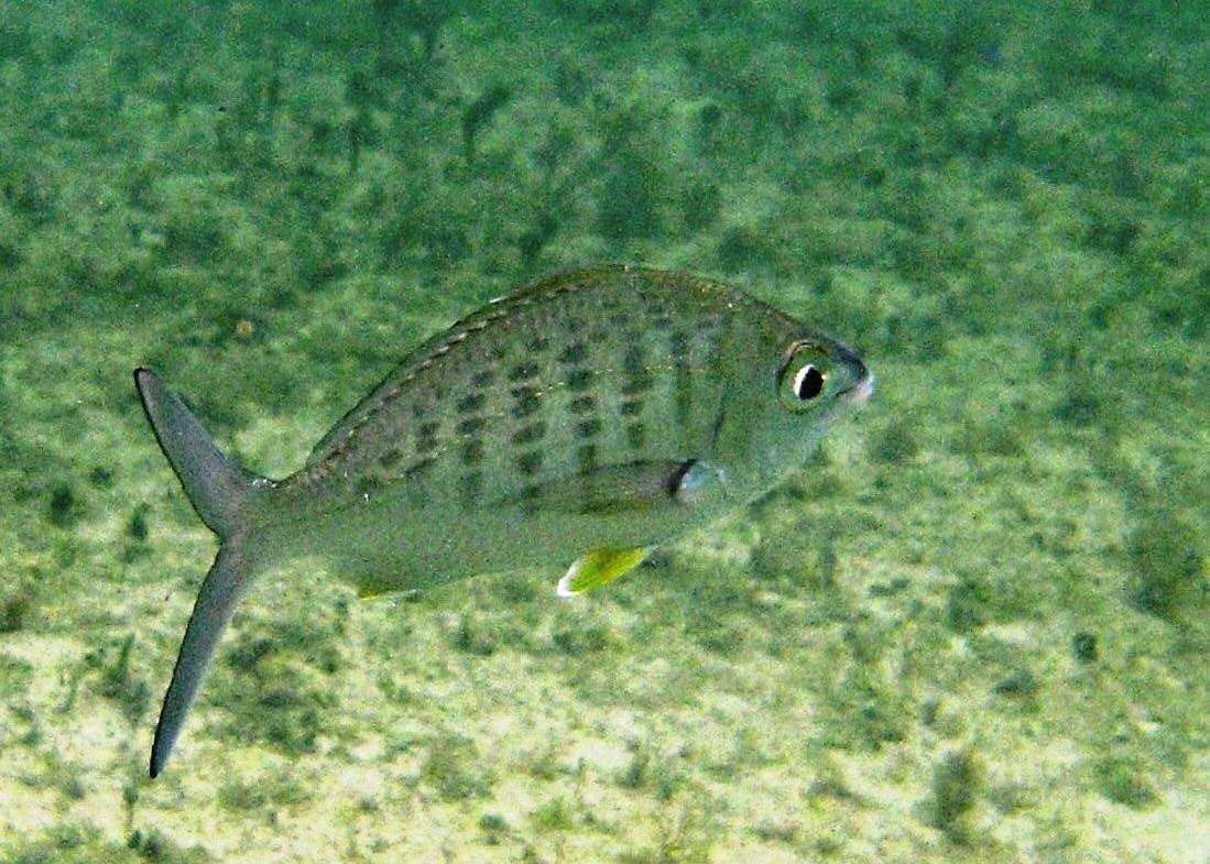
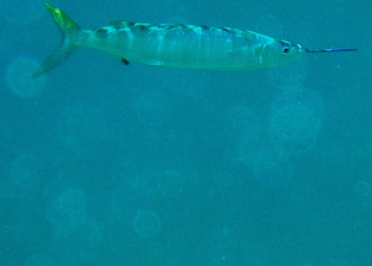
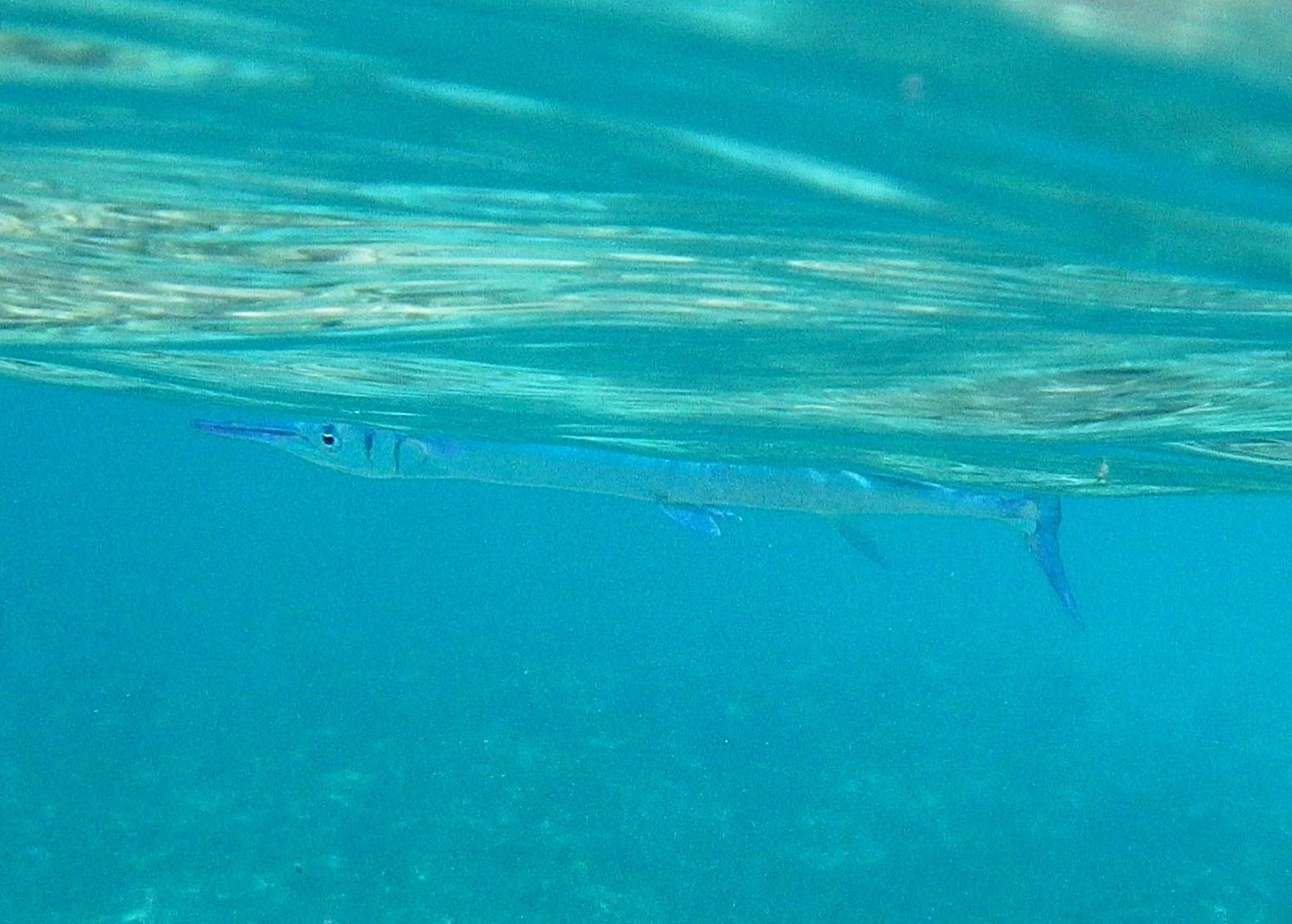
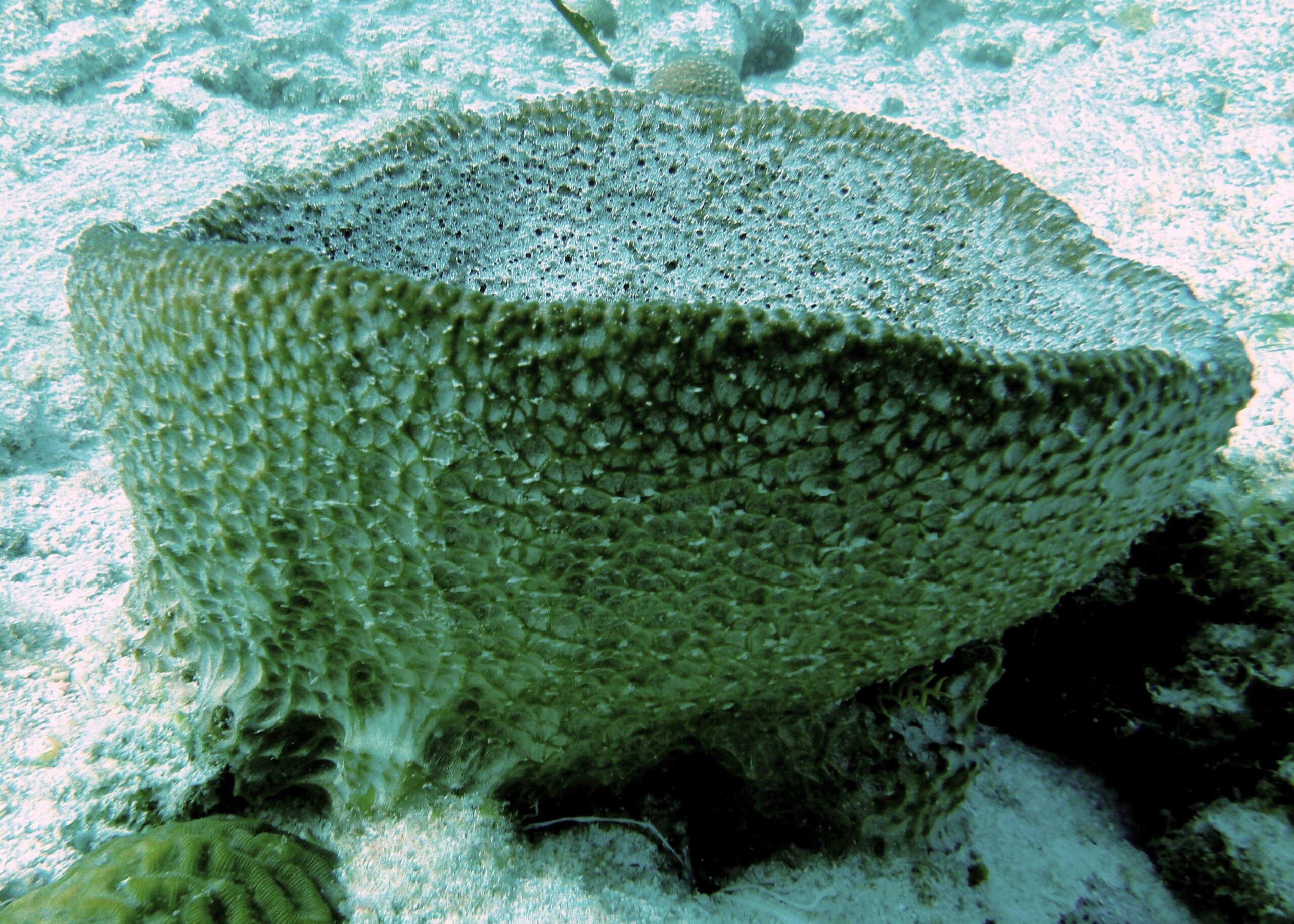
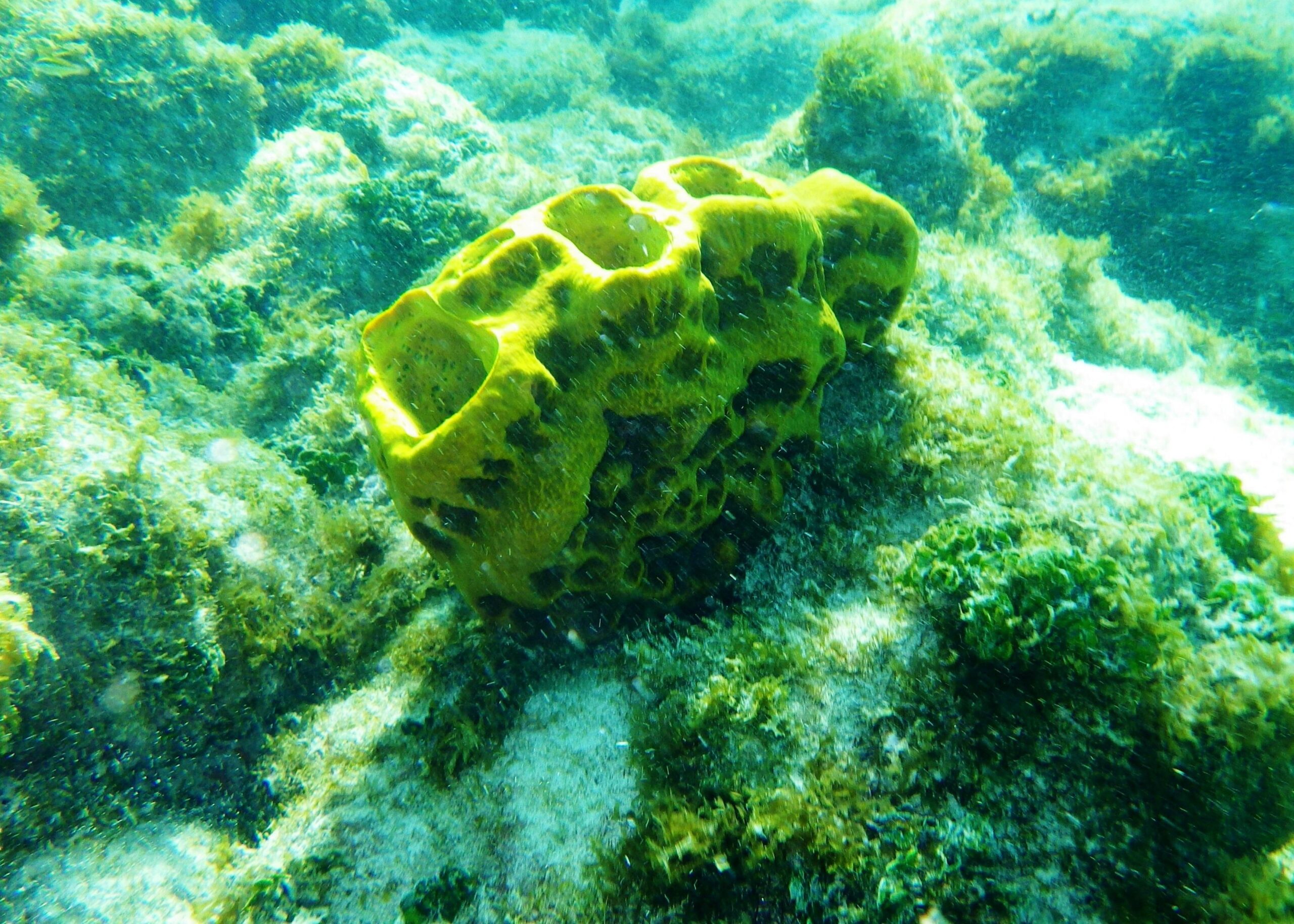
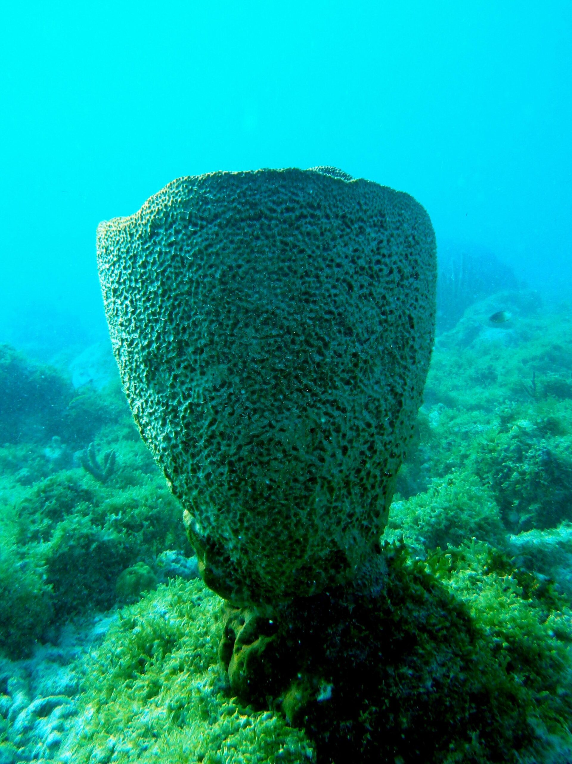
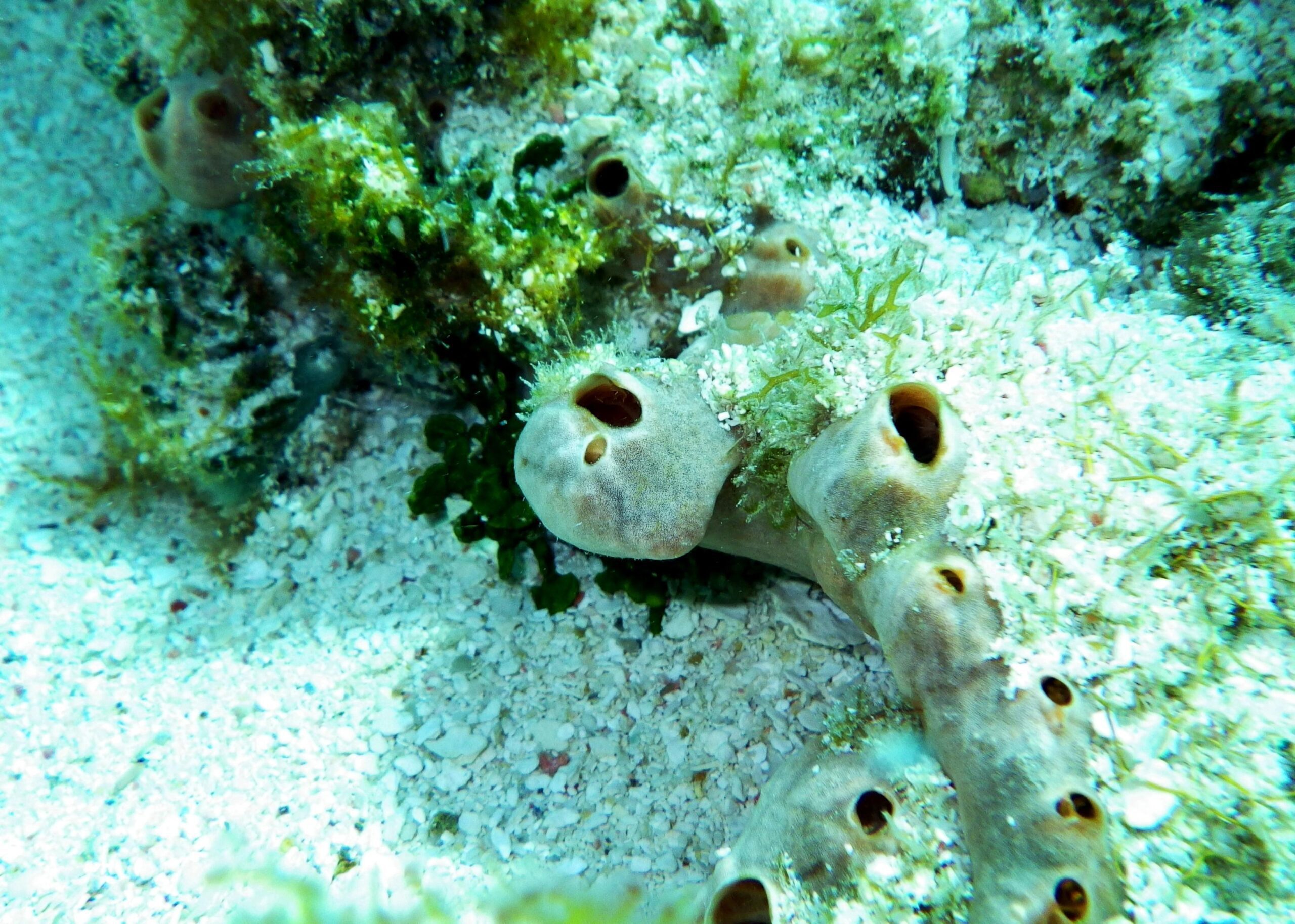
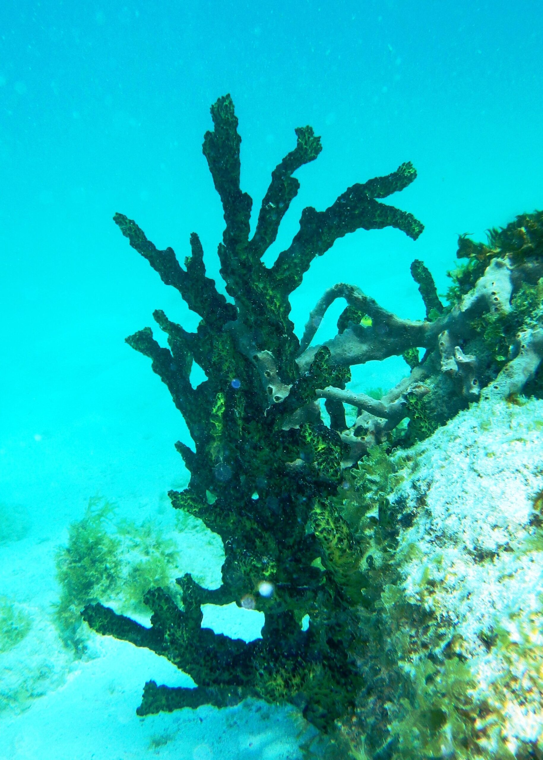
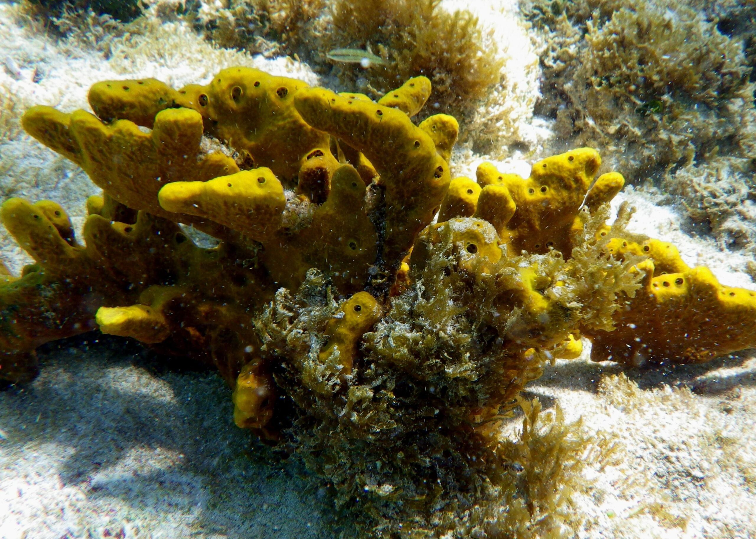
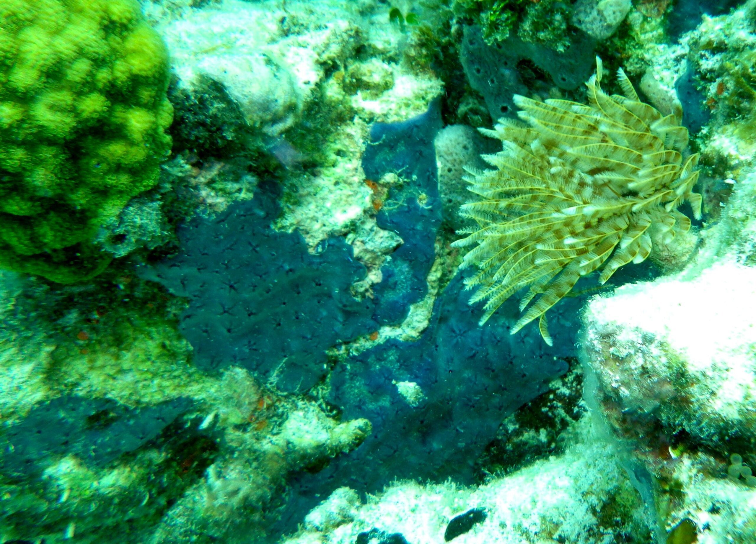
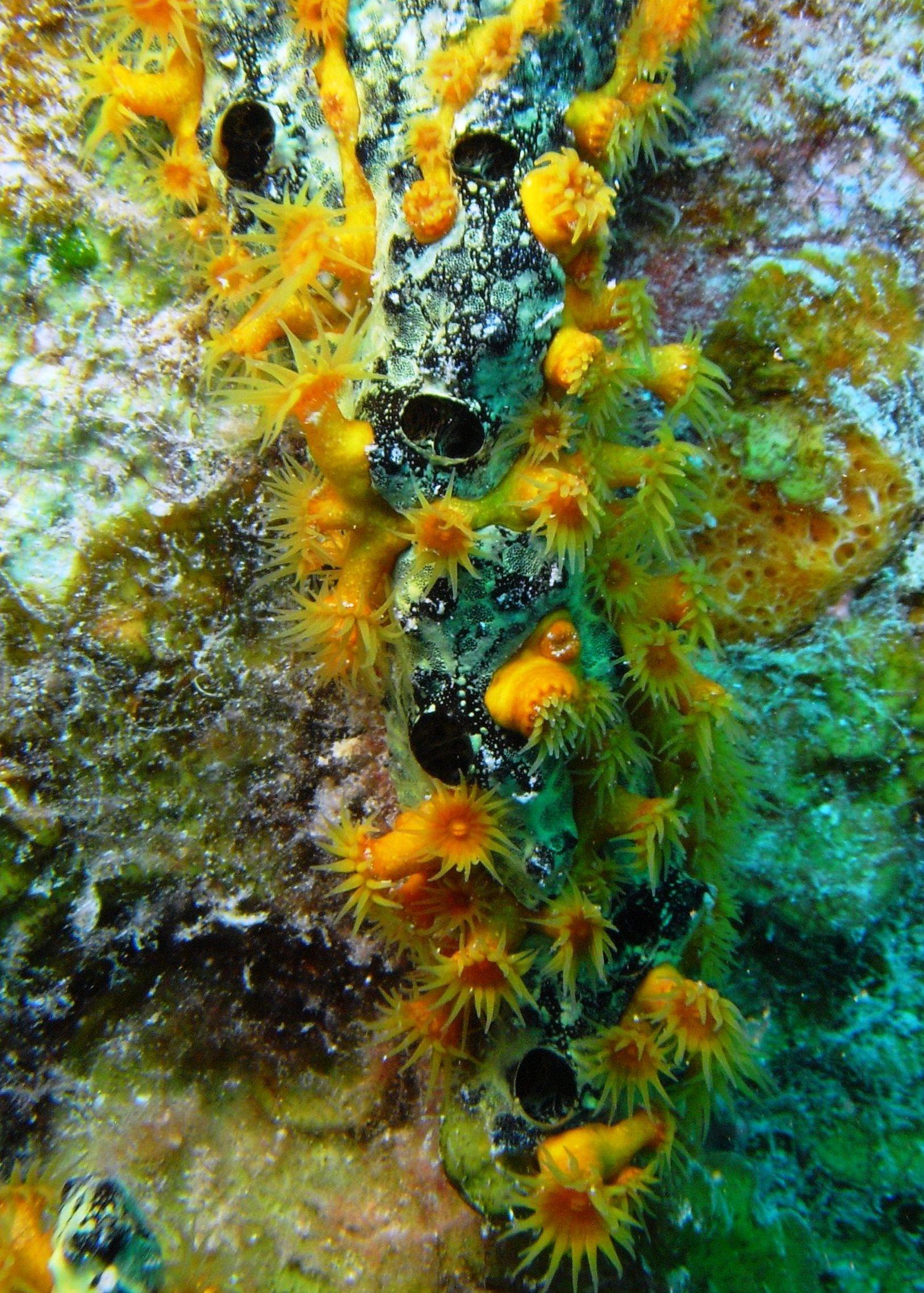
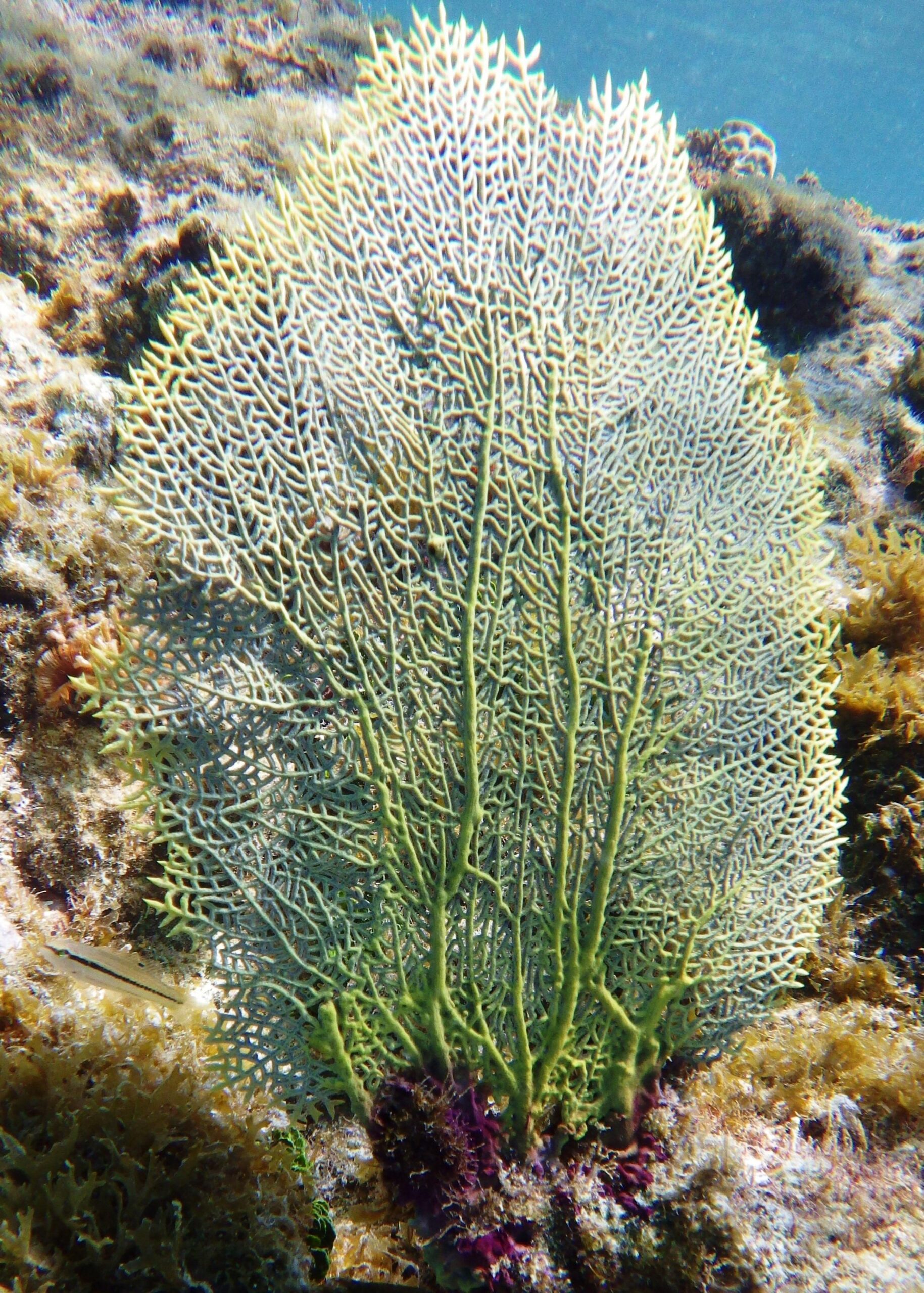
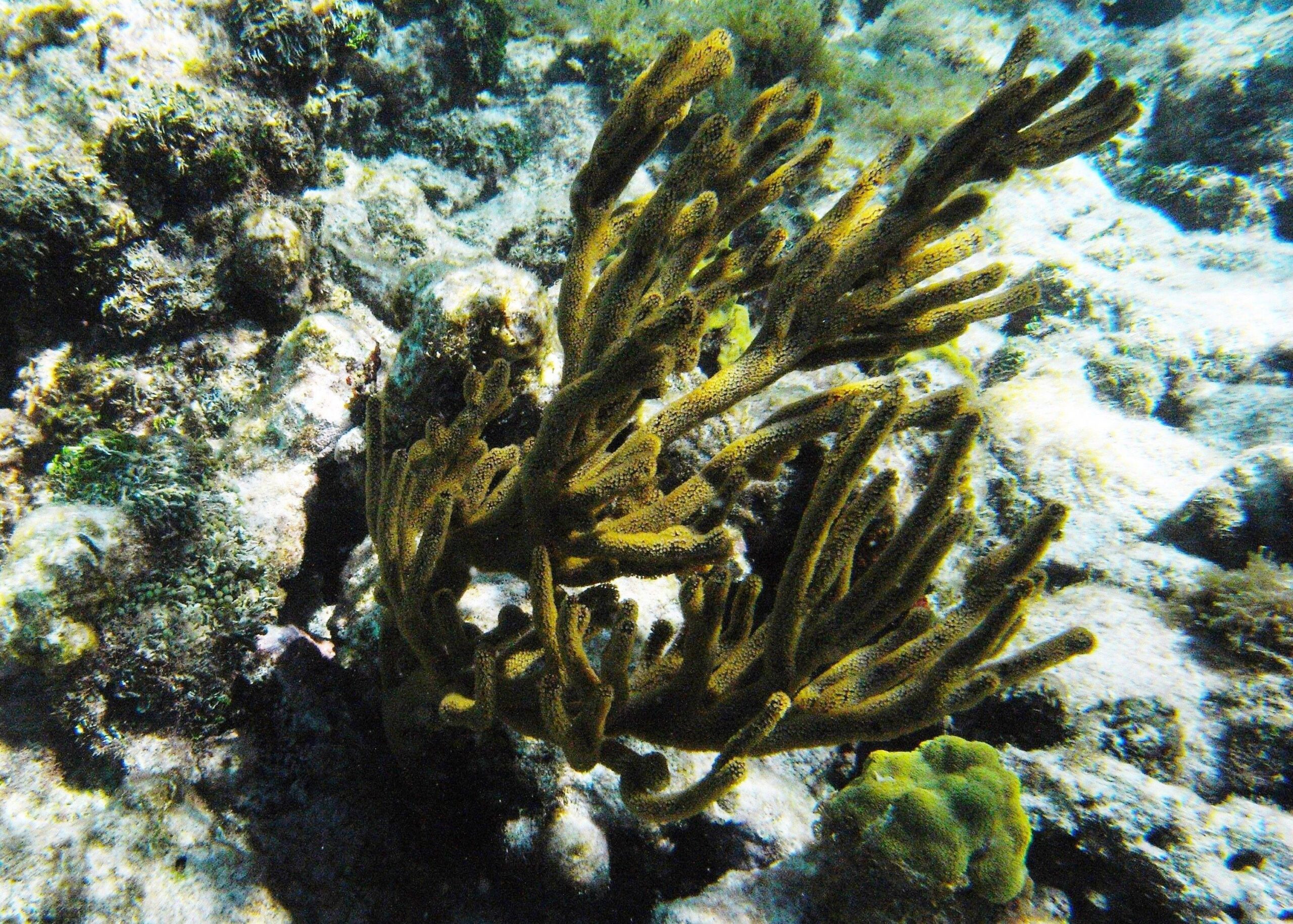
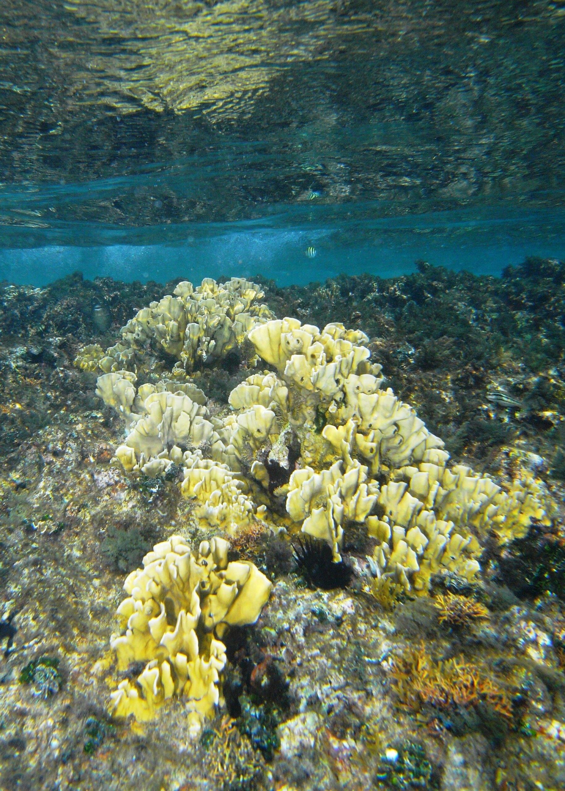
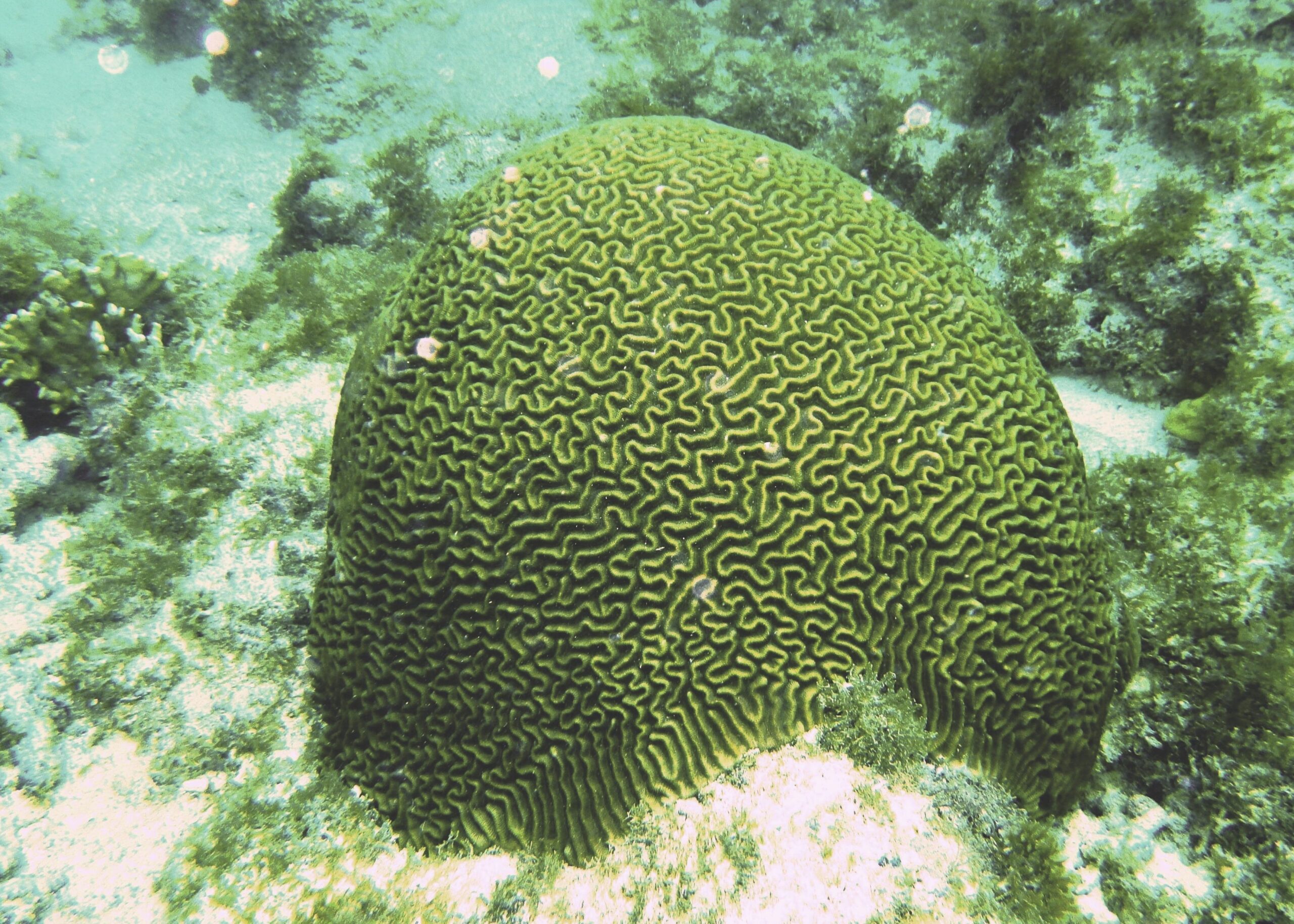
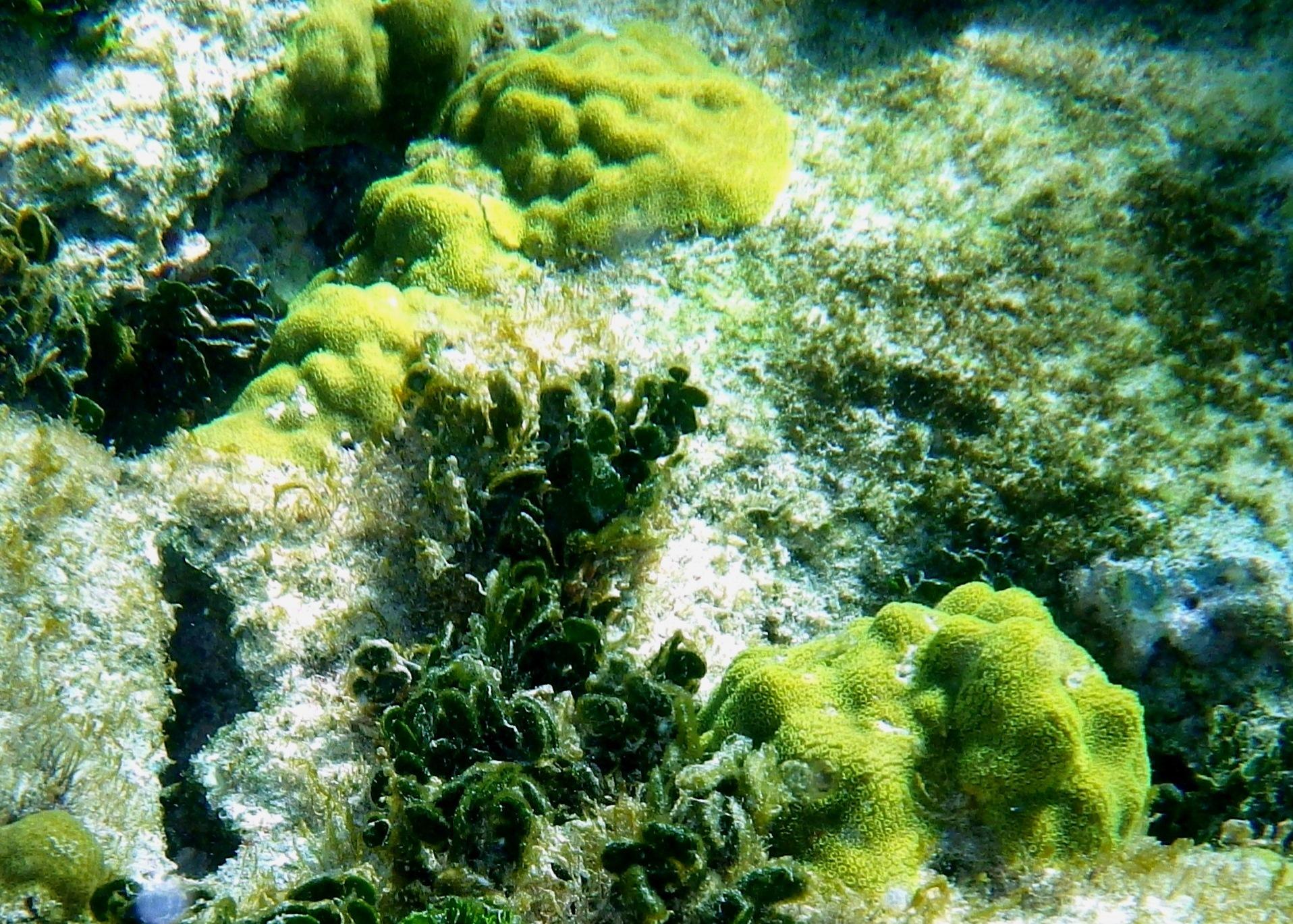
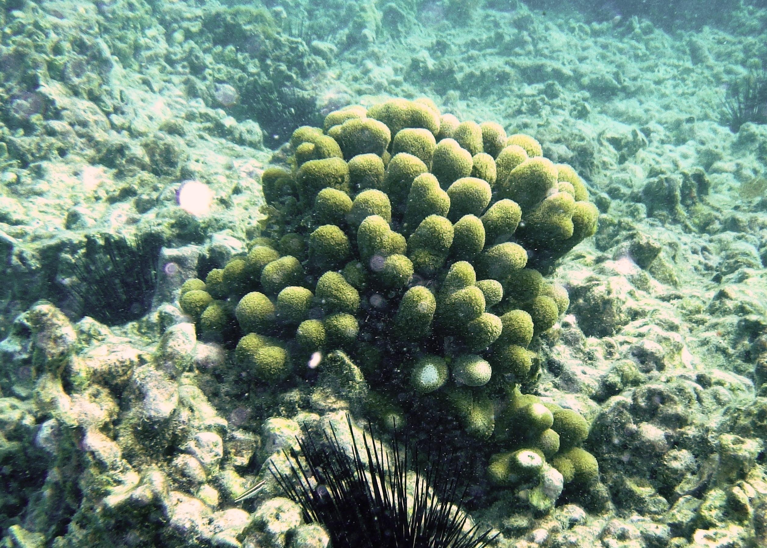
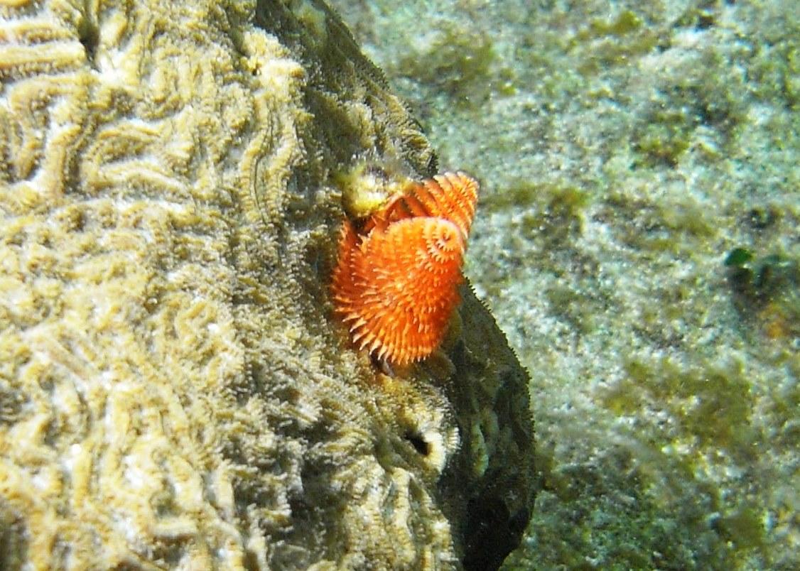
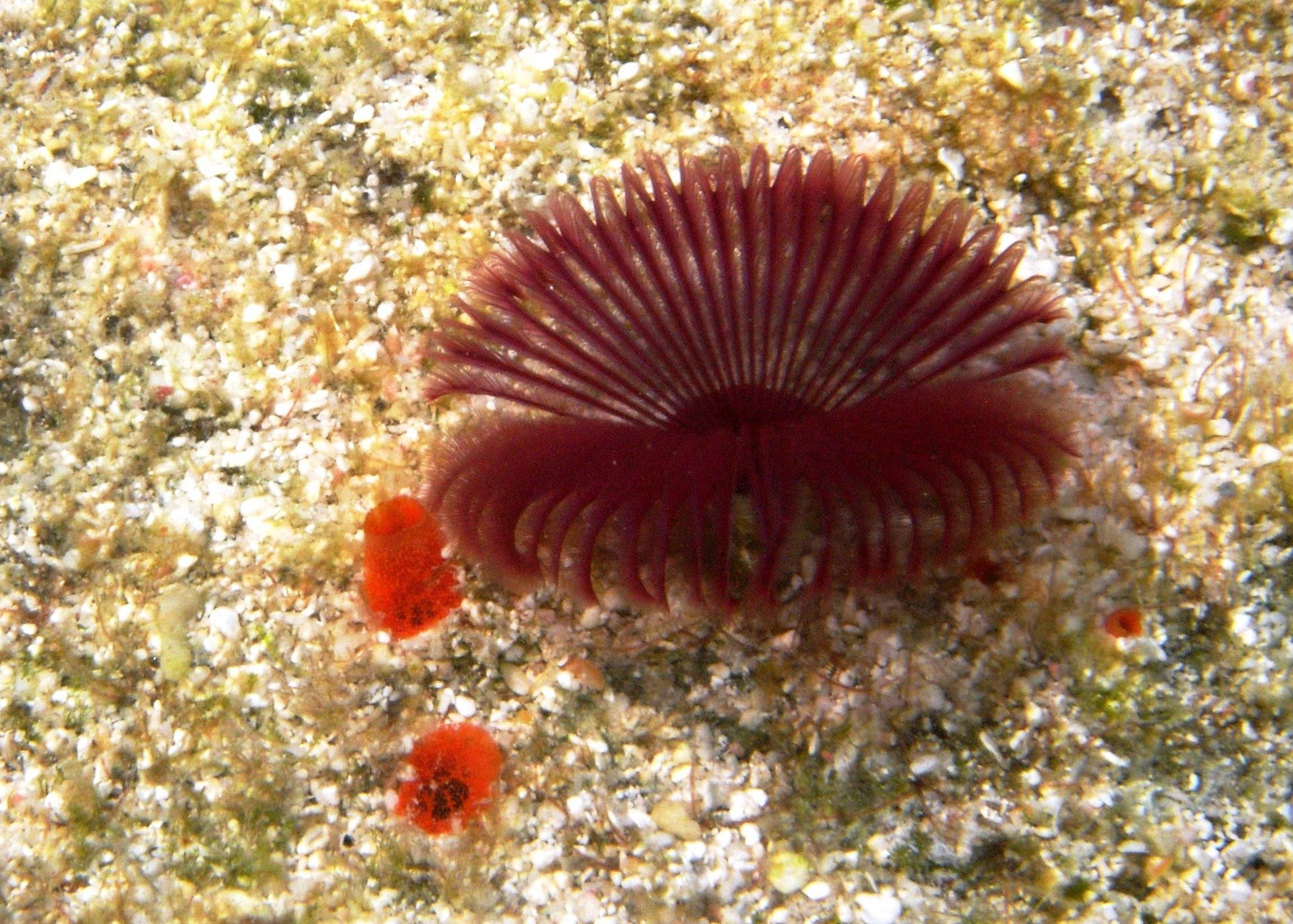
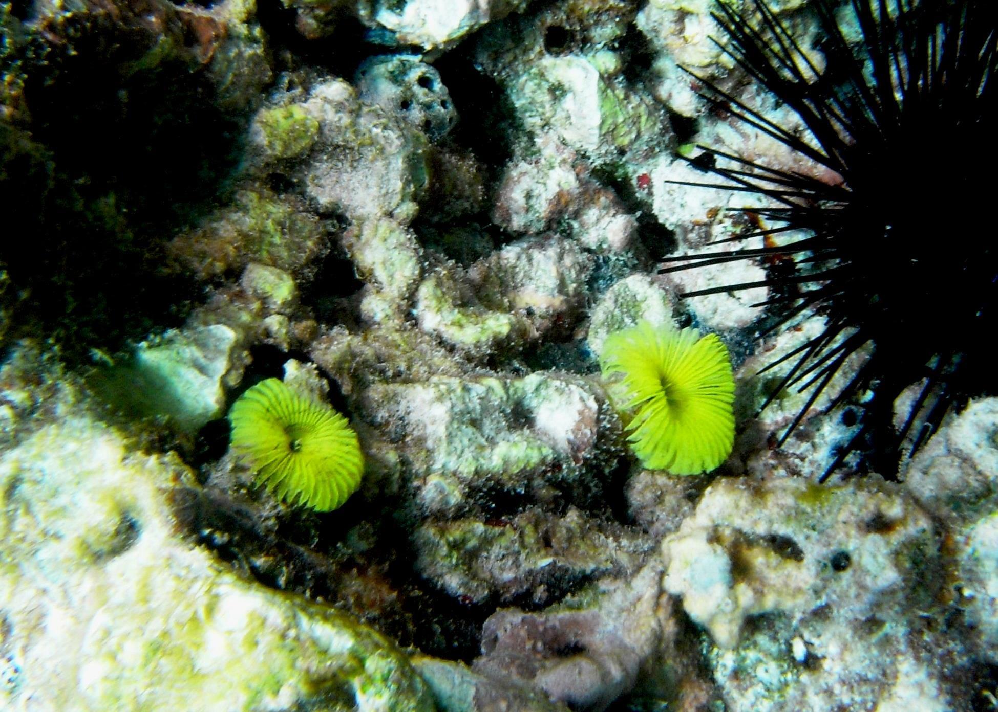
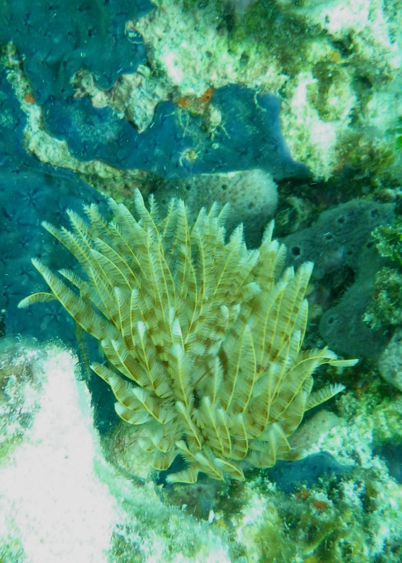
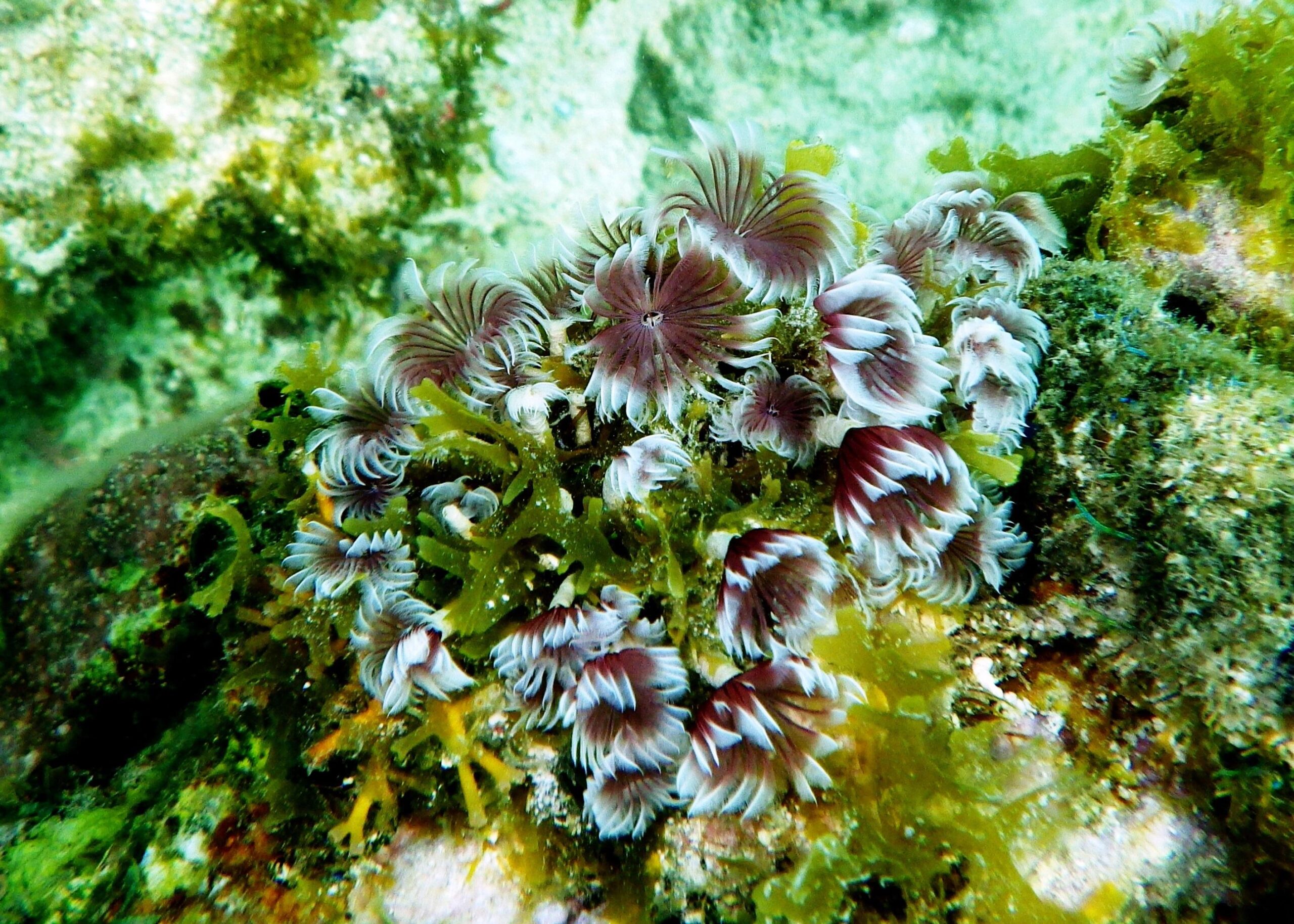
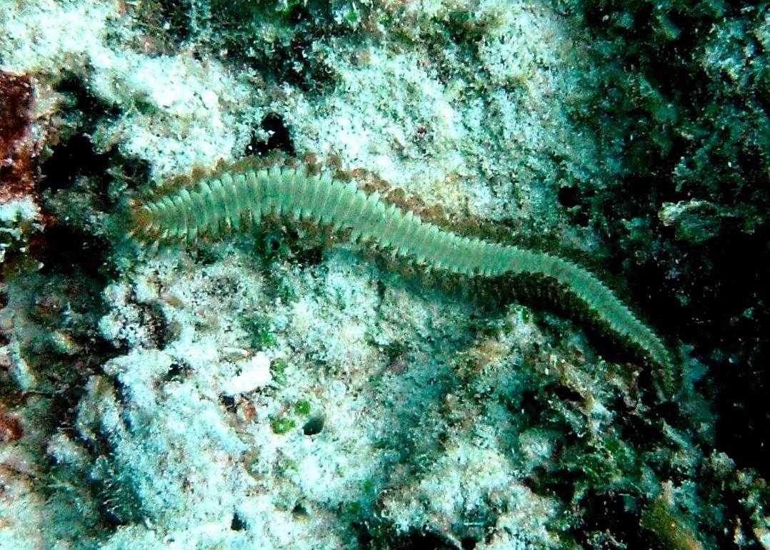
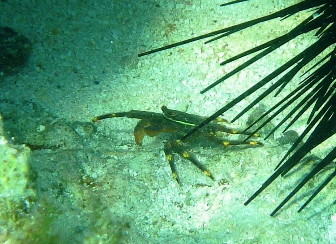
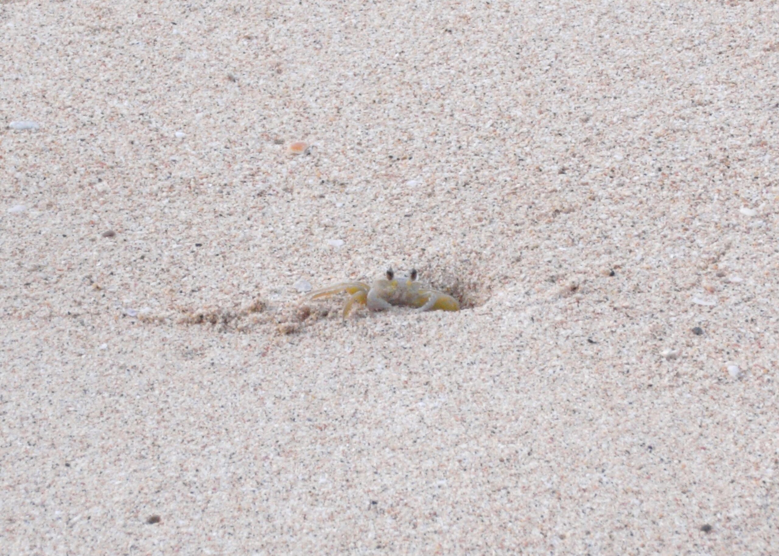
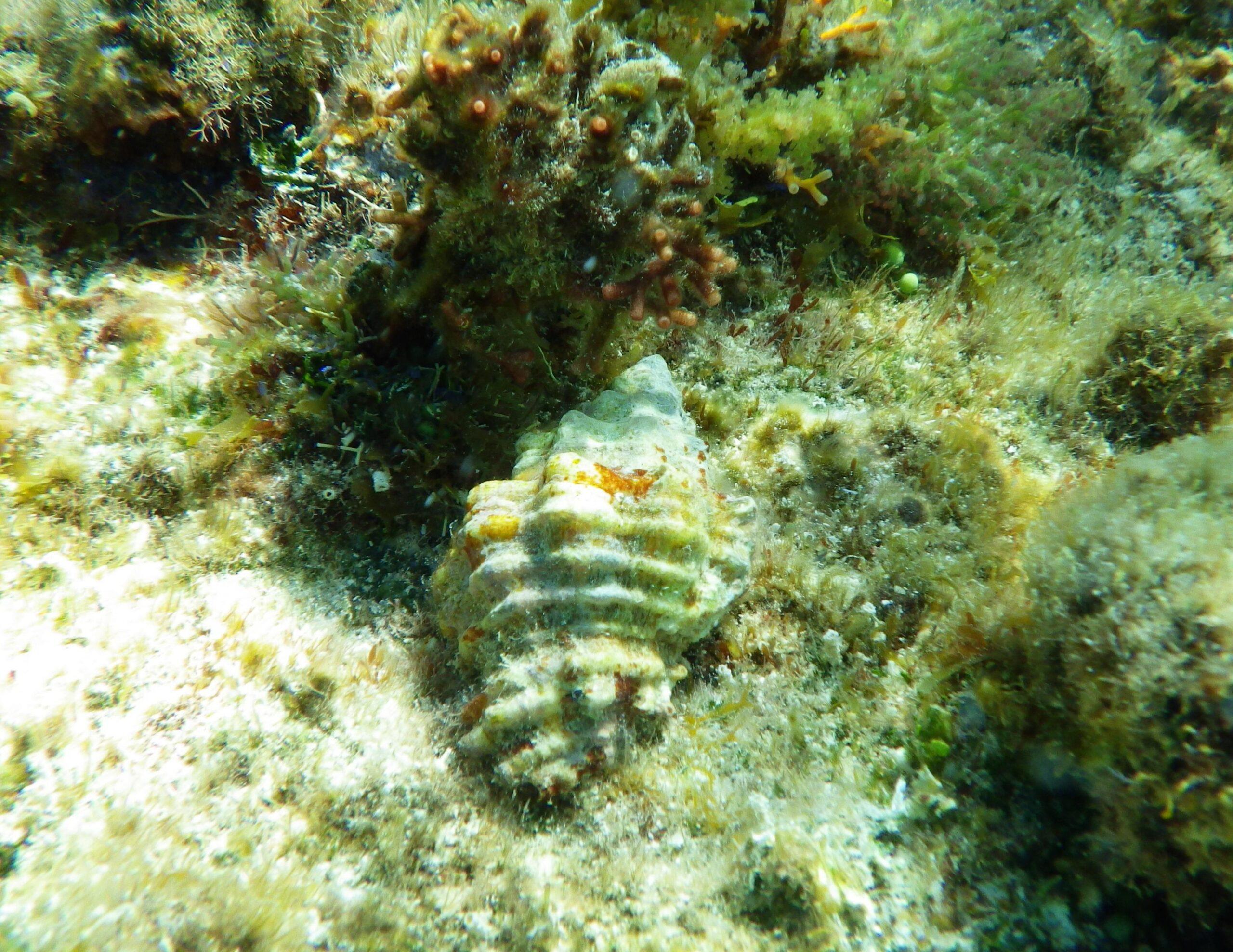
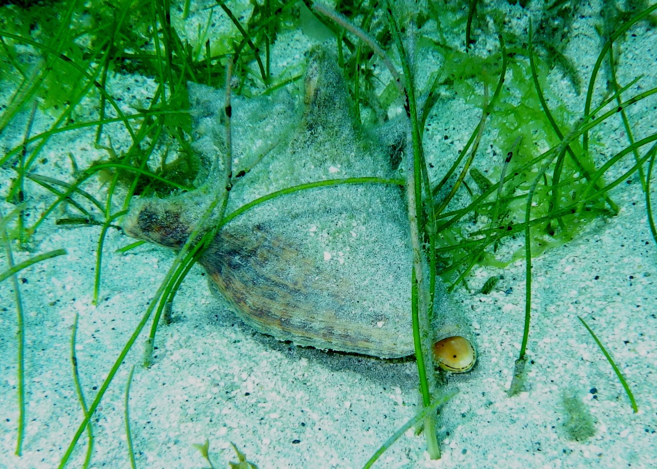
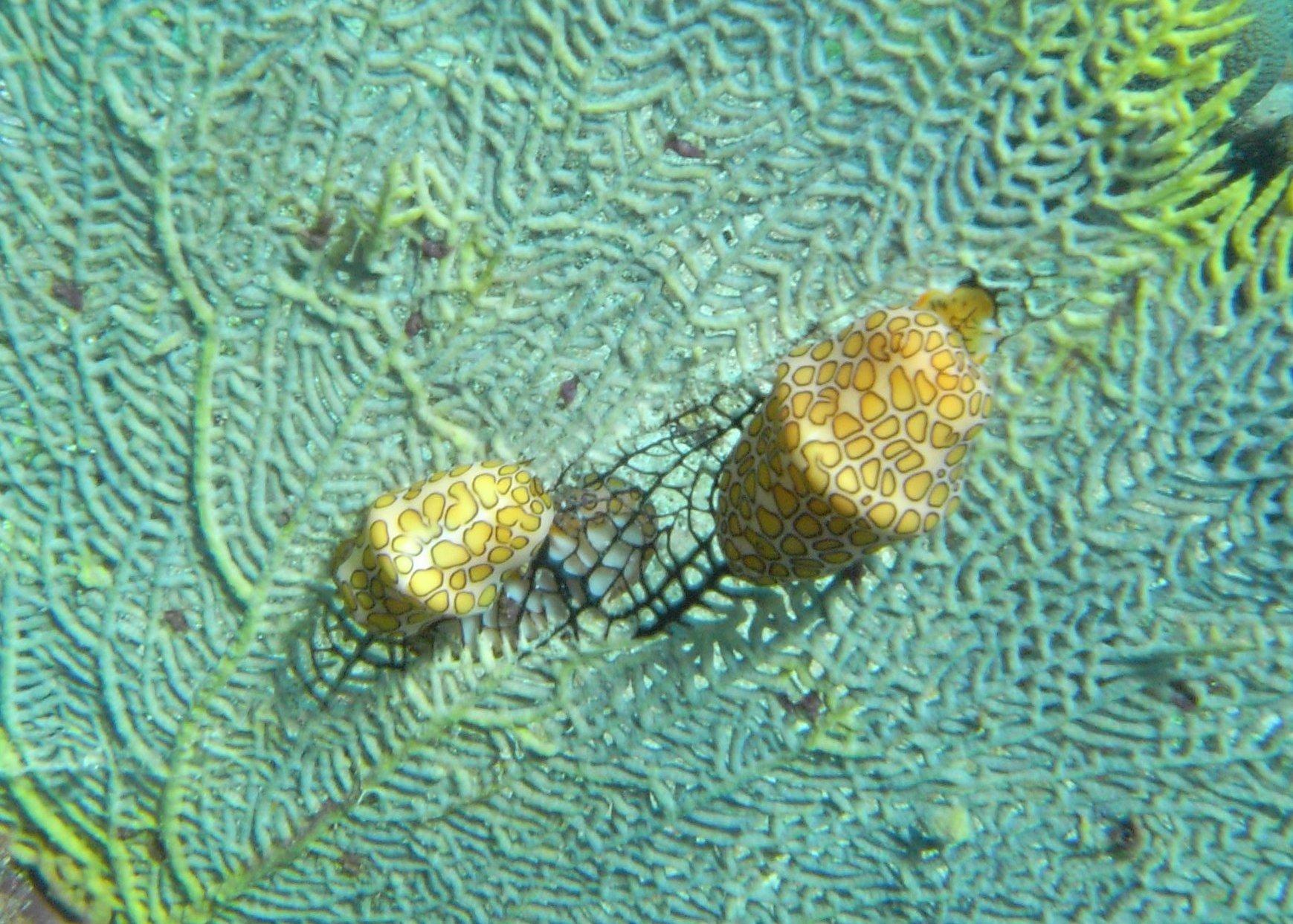
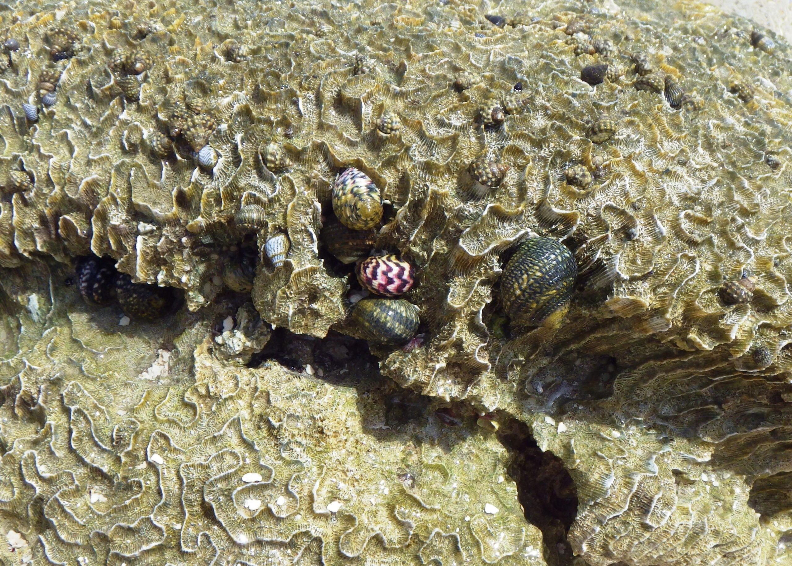
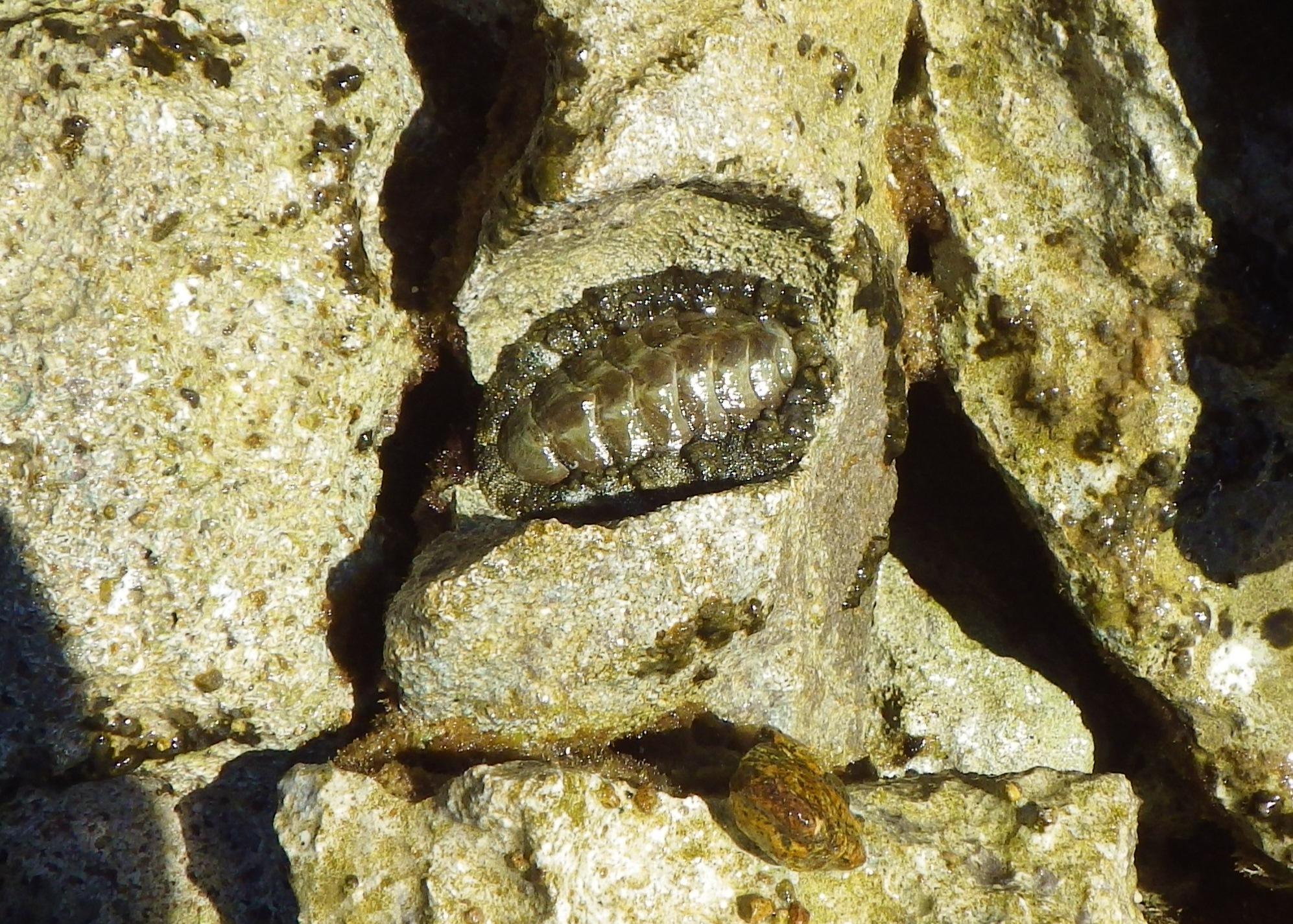
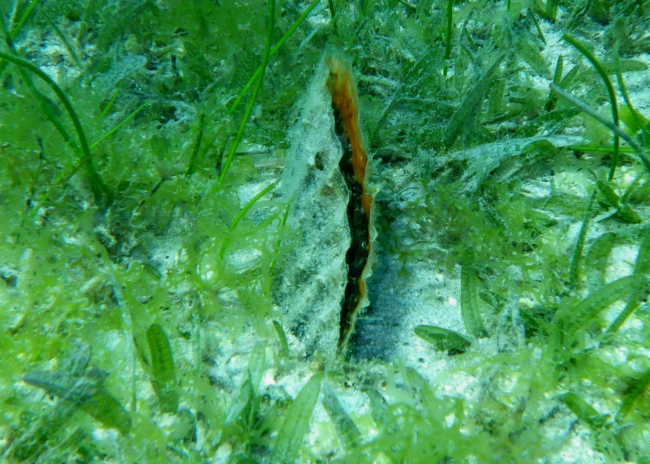
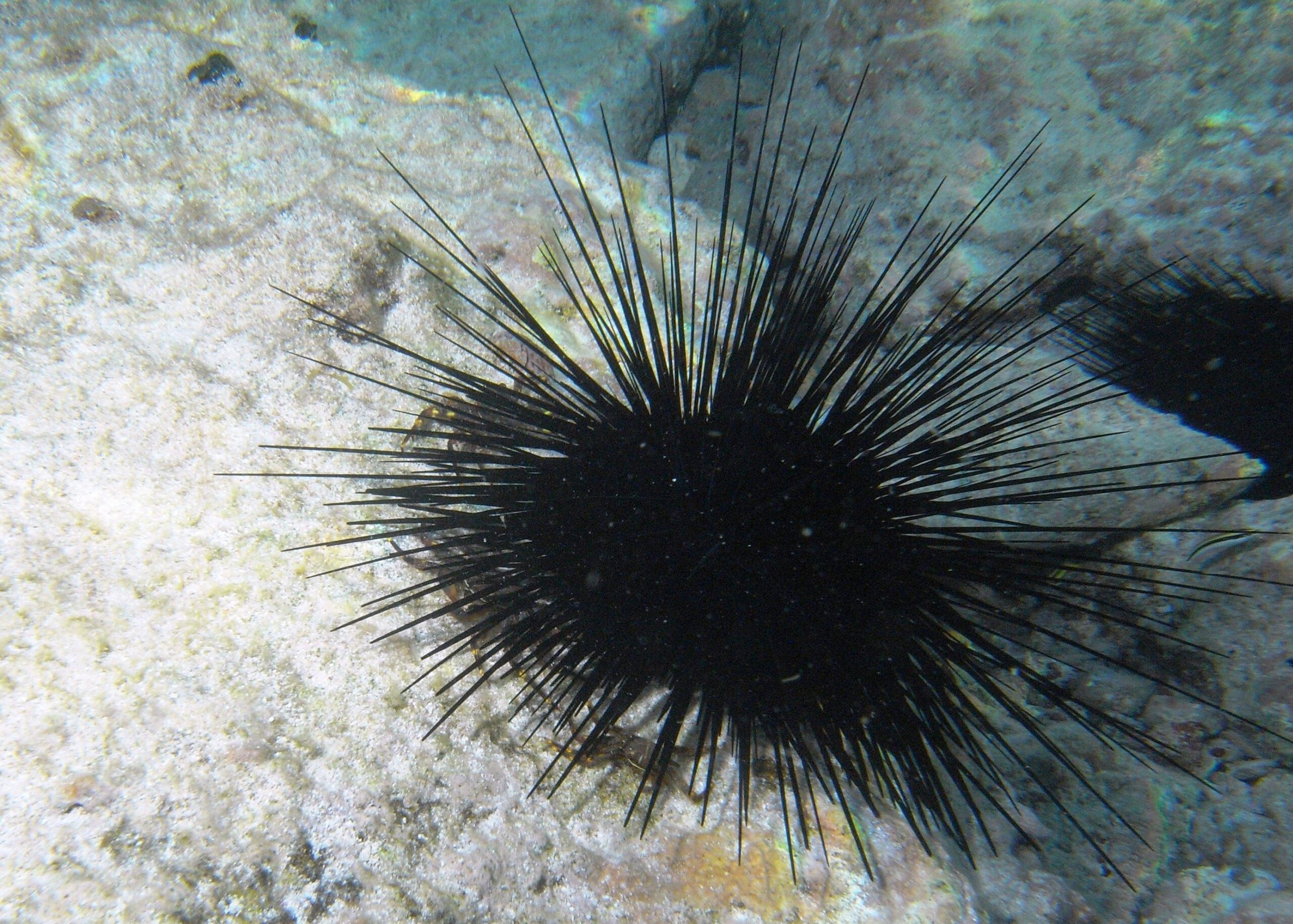
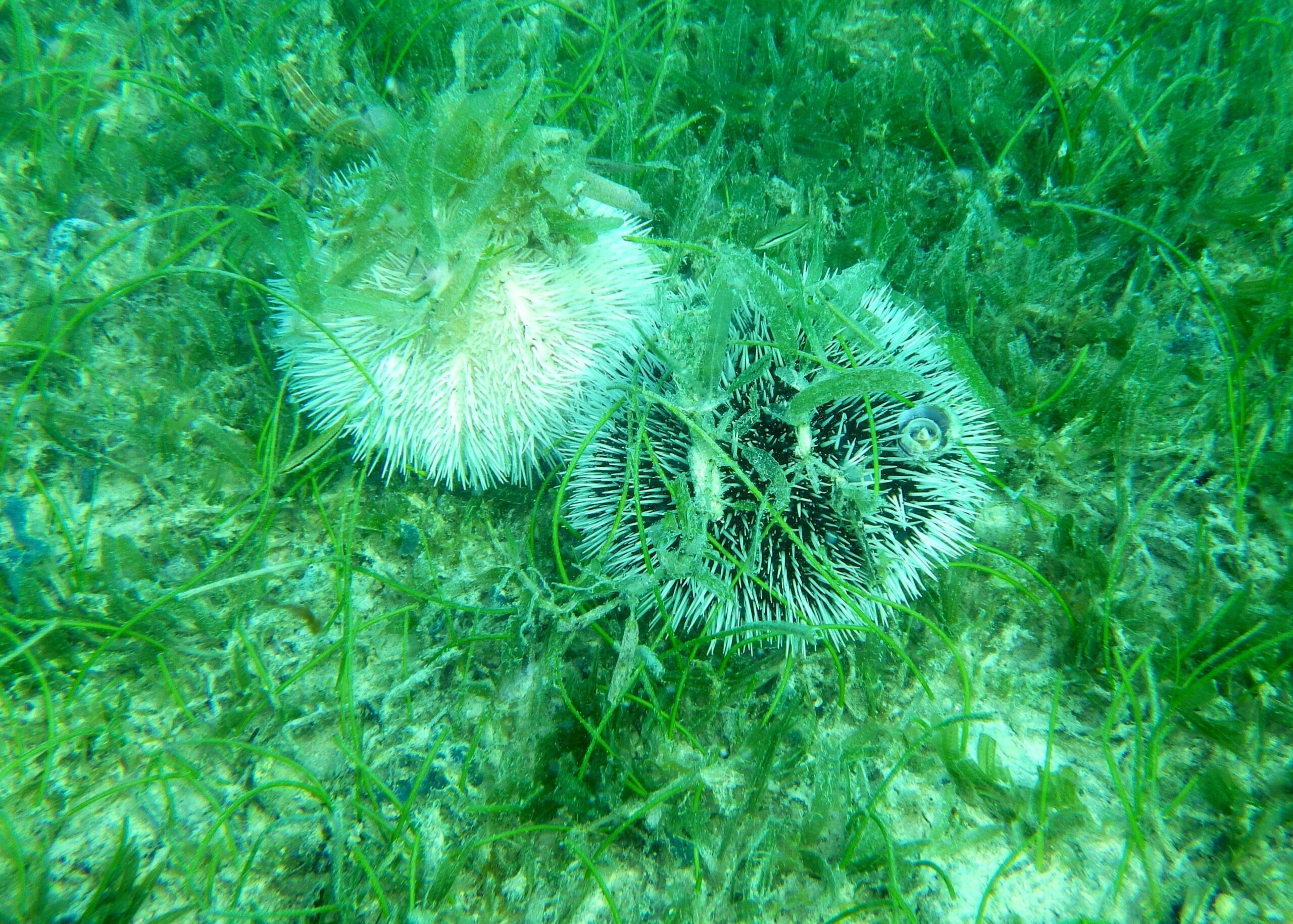
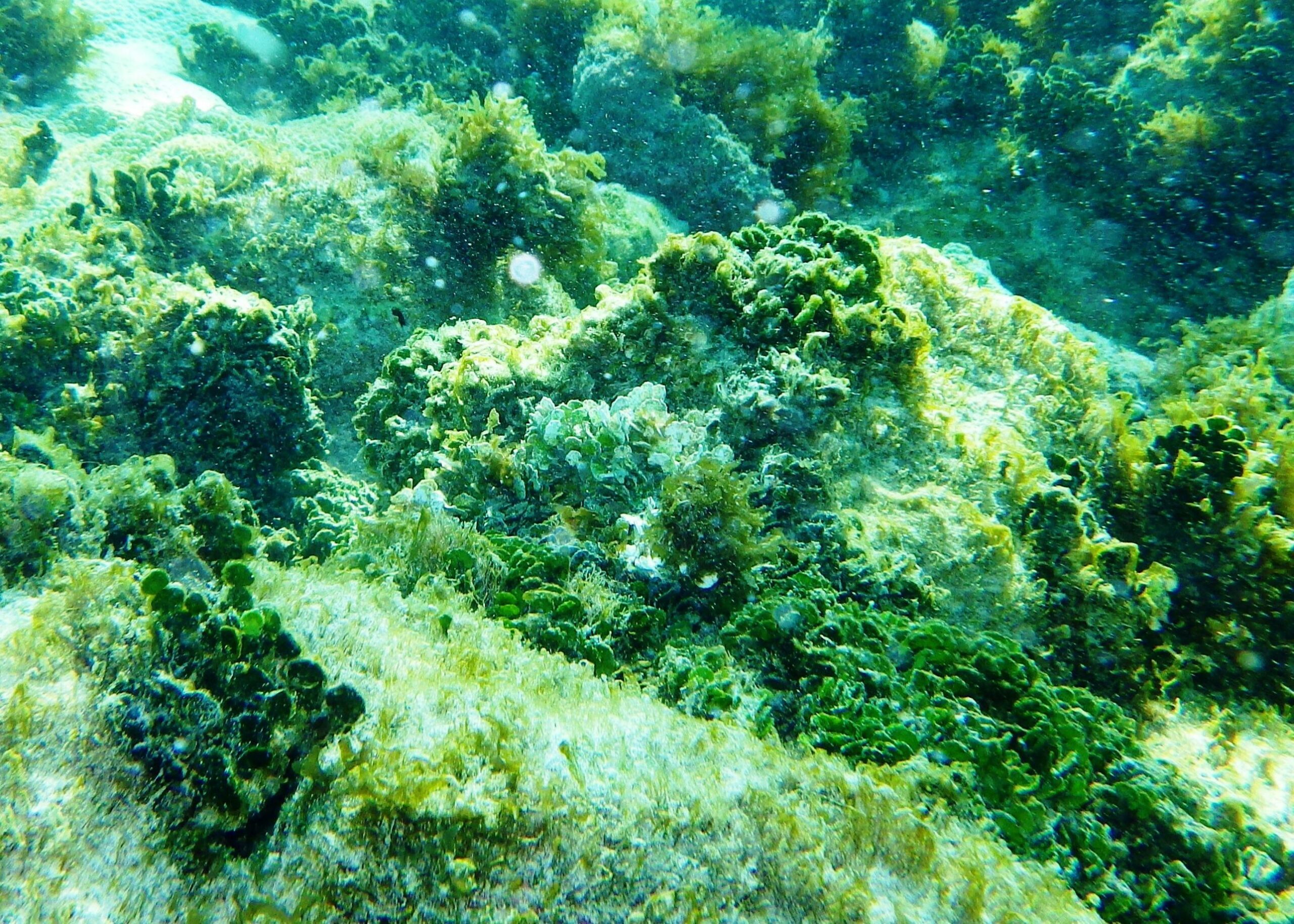
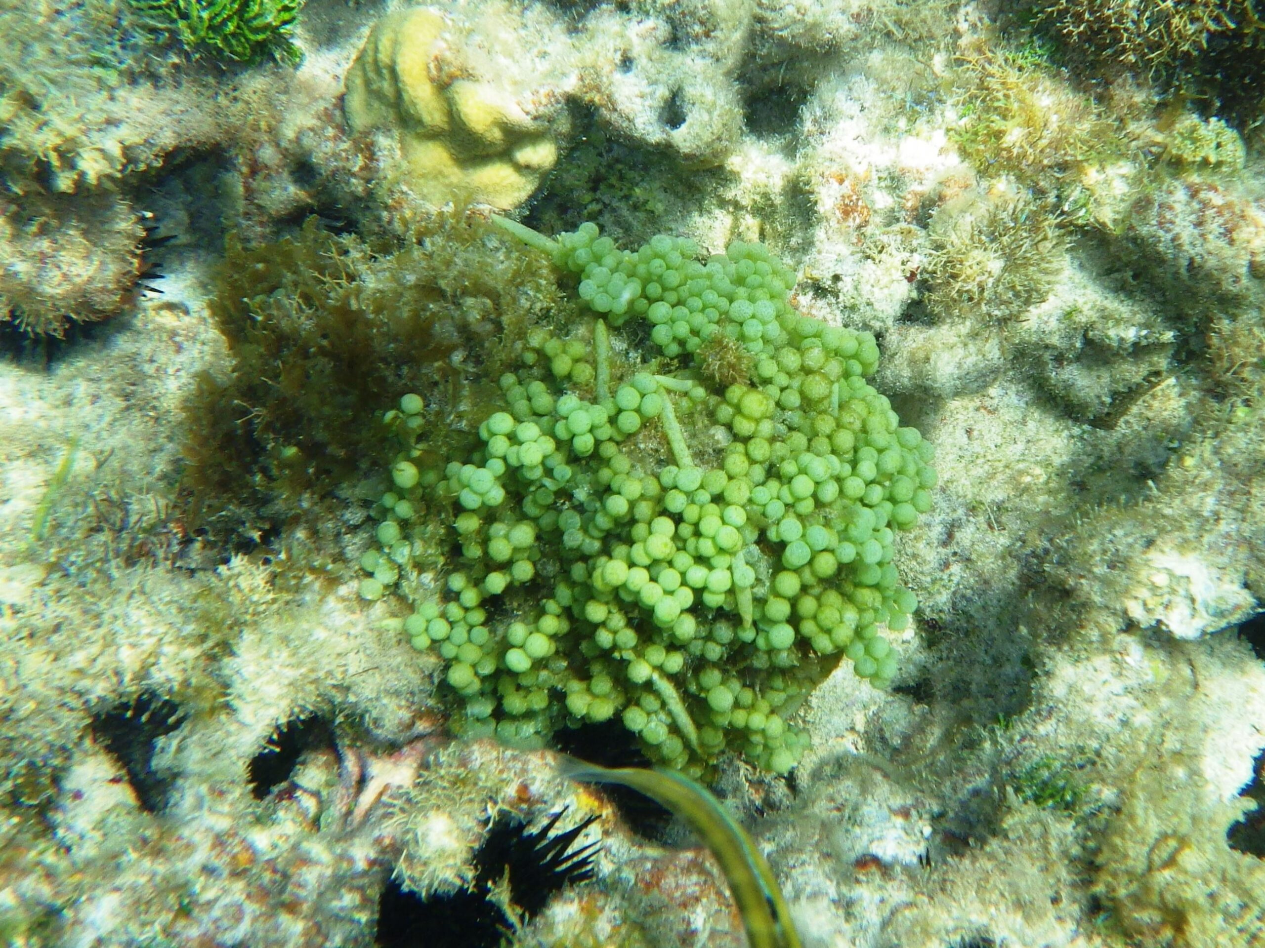
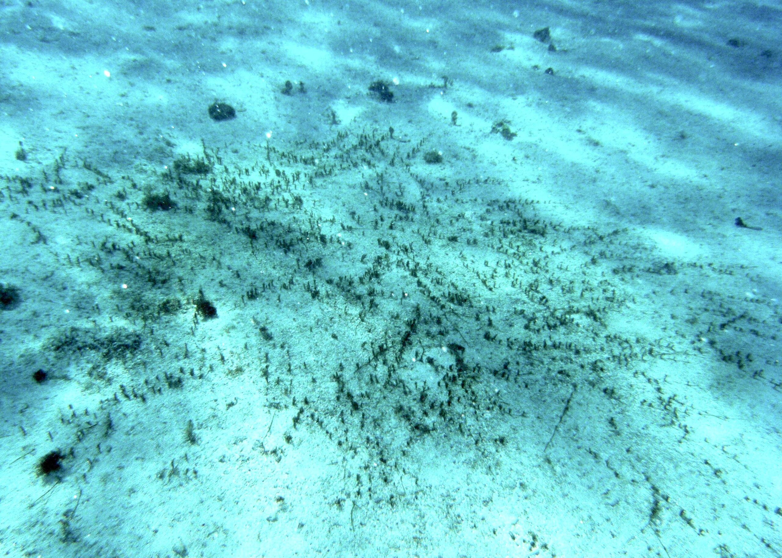
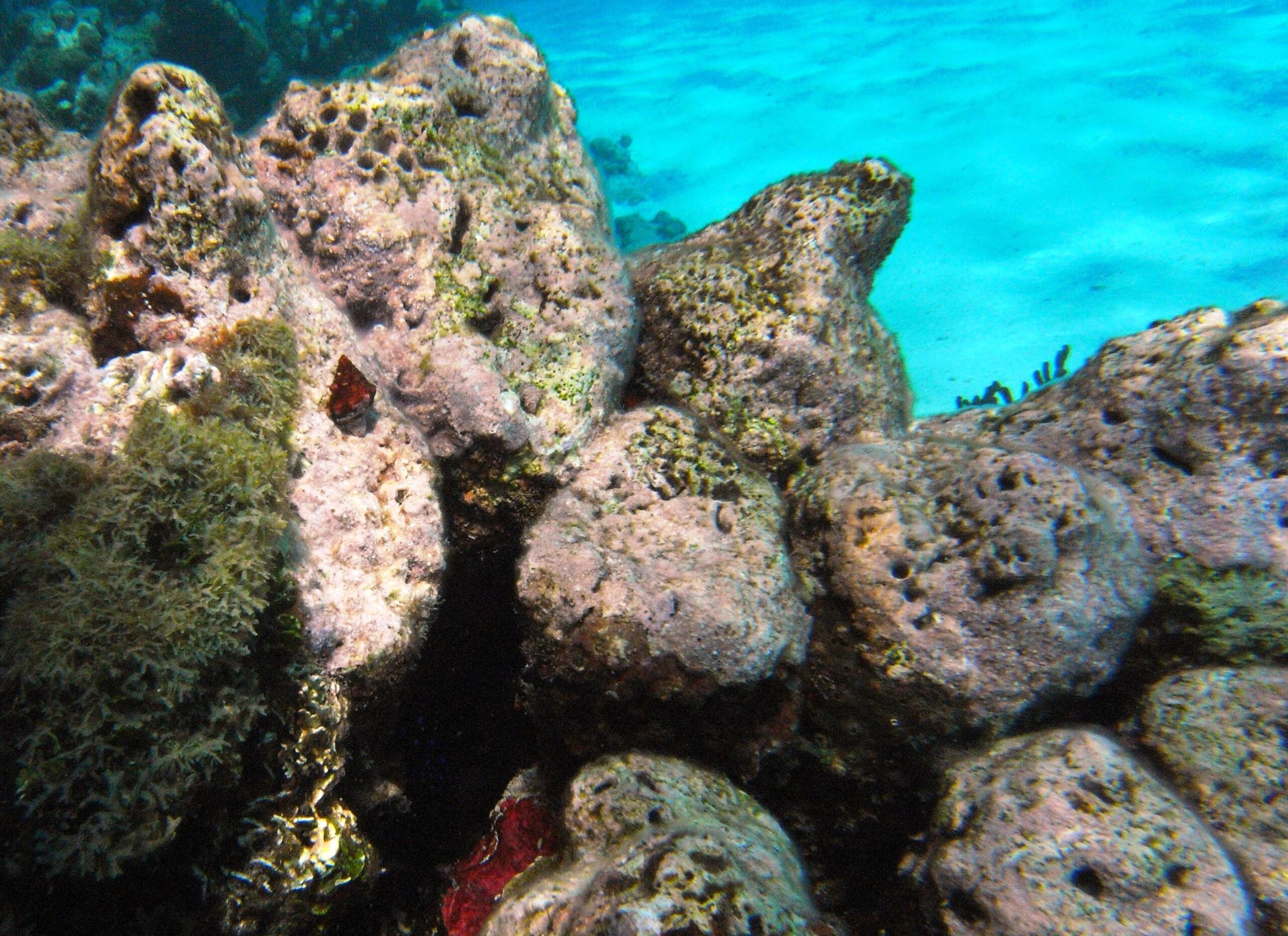
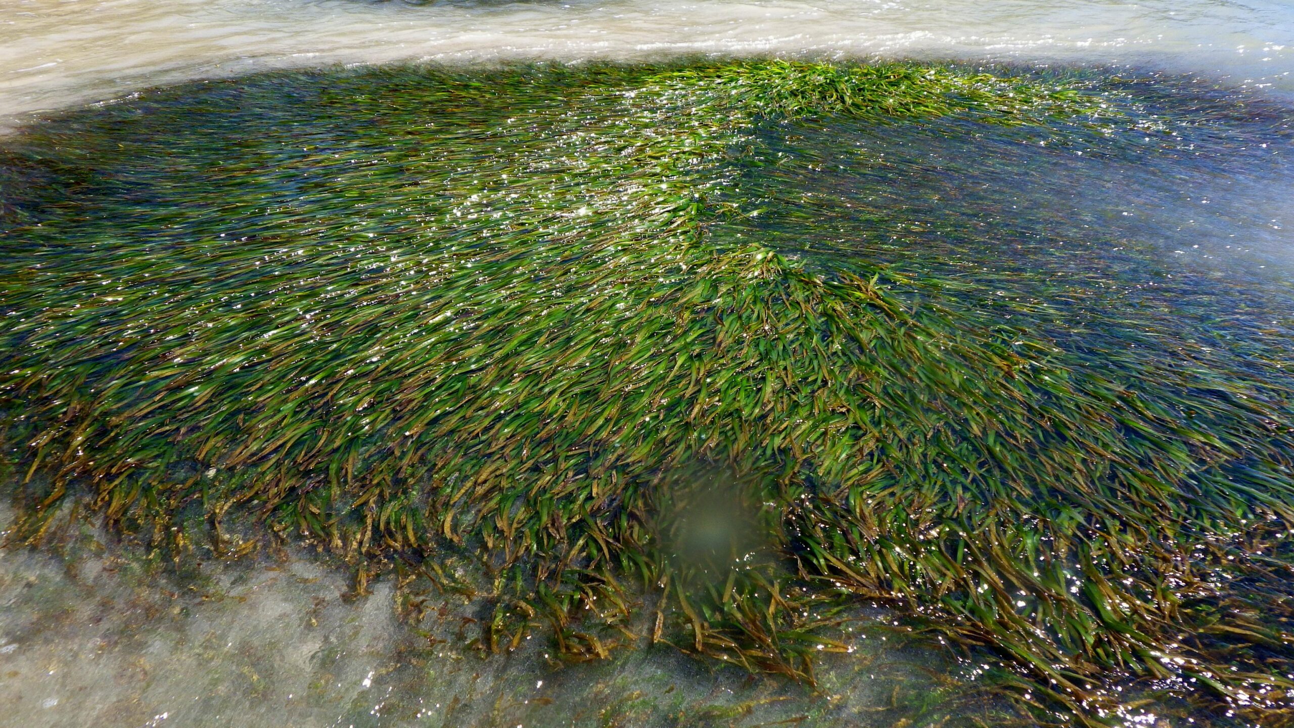
Several areas of easy access to the sea can be used to view the variety of marine life. Despite the degraded condition of the corals in some areas a good range of habitats can be found including live coral outcrops, rock ledges with numerous overhangs, seagrass beds, mixed sand and coral debris as well as clean sandy seabeds. During our visit in 2013 we recorded approximately 100 species.
Produced with the support of the resort.